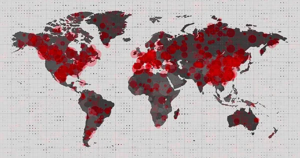
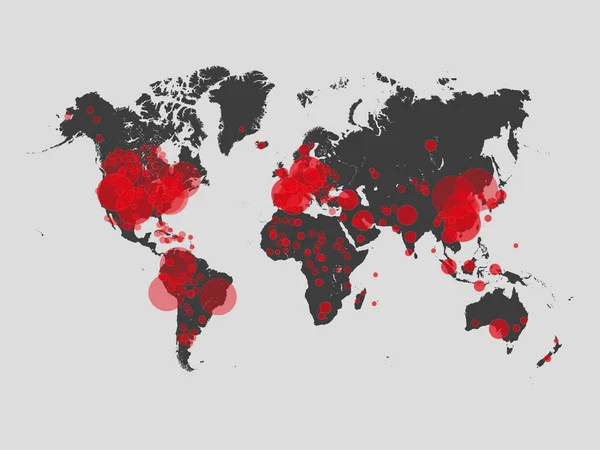
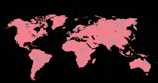
Stock image Image of a world map, continents turning red, showing Covid-19 Coronavirus spread. Global coronavirus Covid 19 pandemic concept digitally generated

Published: Oct.13, 2021 14:29:13
Author: vectorfusionart
Views: 0
Downloads: 0
File type: image / jpg
File size: 1.83 MB
Orginal size: 4096 x 2160 px
Available sizes:
Level: platinum