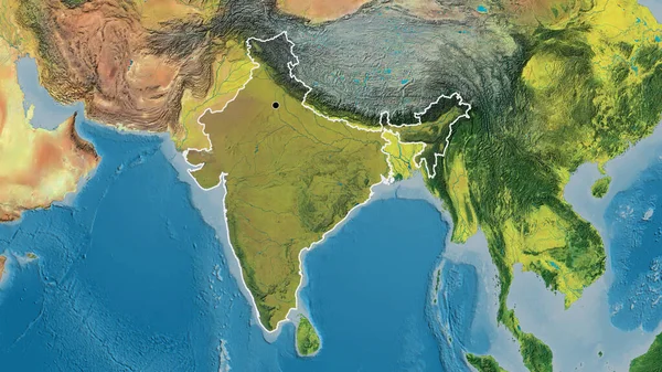
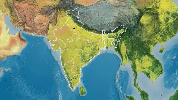
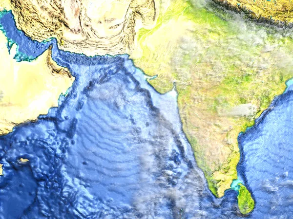
Stock image Indian subcontinent on Earth - visible ocean floor
Published: Mar.13, 2017 12:55:42
Author: tom.griger
Views: 16
Downloads: 0
File type: image / jpg
File size: 14.36 MB
Orginal size: 5000 x 3750 px
Available sizes:
Level: bronze