Home
Images
Vectors
Videos
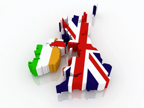
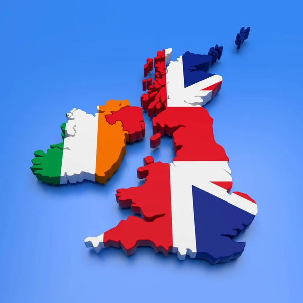
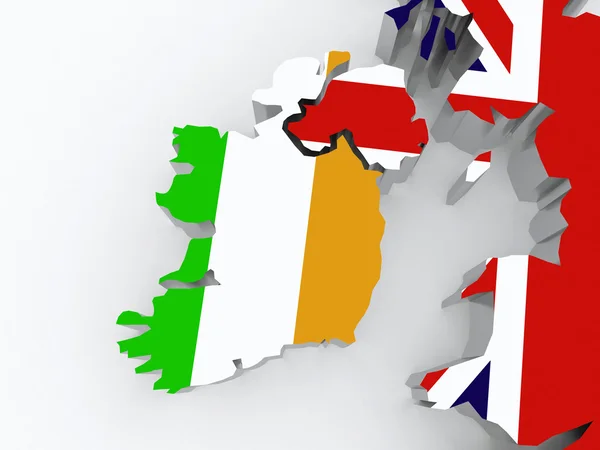
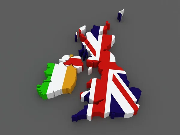
Stock image Ireland and Great Britain. map.
Published:
May.30, 2014 14:56:35
Author:
Tatiana53
Views:
29
Downloads:
0
File type:
image
/
jpg
File size:
5.52 MB
Orginal size:
5600
x
4200
px
Available sizes:
S
(500 x 375)
M
(1000 x 750)
L
(2000 x 1500)
XL
(5600 x 4200)
EL0
(5600 x 4200)
Level:
bronze
Download Image
Image topics:
Illustration
Sign
Travel
European
Border
3d
Symbol
Icon
Tourism
Europe
Country
Map
Cartography
Geography
National
Ireland
State
Great
International
Politics
Britain
And
England
Diplomacy
Province
Nation
Embassy
Regions
Republics
Similar stock images
Ireland And Great Britain. Map.
4200 × 4200
Map Of Great Britain And Ireland.
5600 × 4200
Ireland And The UK. Map.
5600 × 4200
Islands Of United Kingdom And Ireland With National Flags
5000 × 5000
3D UK And Ireland Map
4000 × 4000
Map Of Ireland And Britain.
5600 × 4200
British Isles With Embedded National Flags On Political 3D Globe. 3D Illustration.
5000 × 3750
3D Map Of The United Kingdom With National Flags On White Background 3D Illustration
6000 × 6000