Home
Images
Vectors
Videos
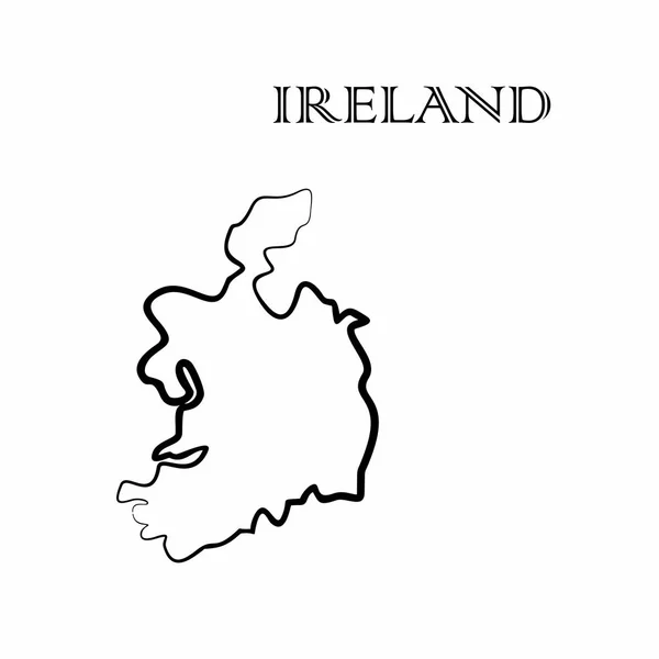
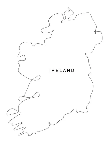
Stock image Ireland Map - Hand Drawn Illustration
Published:
Aug.02, 2018 06:41:16
Author:
creuxnoir
Views:
8
Downloads:
0
File type:
image
/
jpg
File size:
0.55 MB
Orginal size:
5120
x
4096
px
Available sizes:
S
(500 x 400)
M
(1000 x 800)
L
(2000 x 1600)
XL
(5120 x 4096)
EL0
(5120 x 4096)
Level:
beginner
Download Image
Image topics:
White
Background
Graphic
Illustration
Design
Isolated
Shape
Business
Sign
Art
Travel
Abstract
European
Black
Line
Silhouette
Border
Hand
Modern
Symbol
Concept
Icon
City
Flat
Drawing
Europe
Globe
Sketch
Outline
Country
Map
Cartography
Geography
Area
Ireland
State
Drawn
Countries
Administrative
Region
Division
Doodle
County
Similar stock images
Isolated Ireland Map Design
5315 × 5315
The Ireland Map
6000 × 6000
Concept Map Of Ireland
5354 × 4444
Pixel Mosaic Map Of Ireland Island
6340 × 3858
Ireland Map Icon. Vector Illustration.
4167 × 4167
Ireland Simple Map
4310 × 5388
There Is A Map Of Ireland Country
4000 × 4000
Line Art Ireland Map. Continuous Line Europe Map. Vector Illustration. Single Outline. Vector Illustration
3768 × 5000