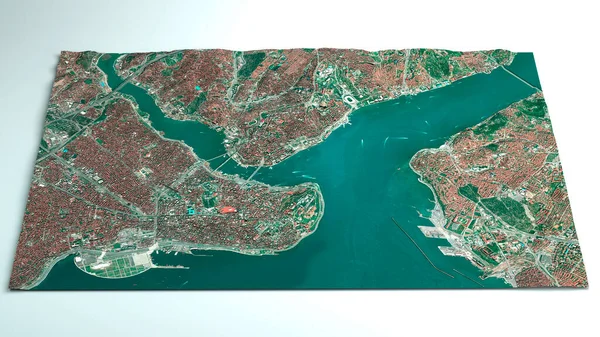
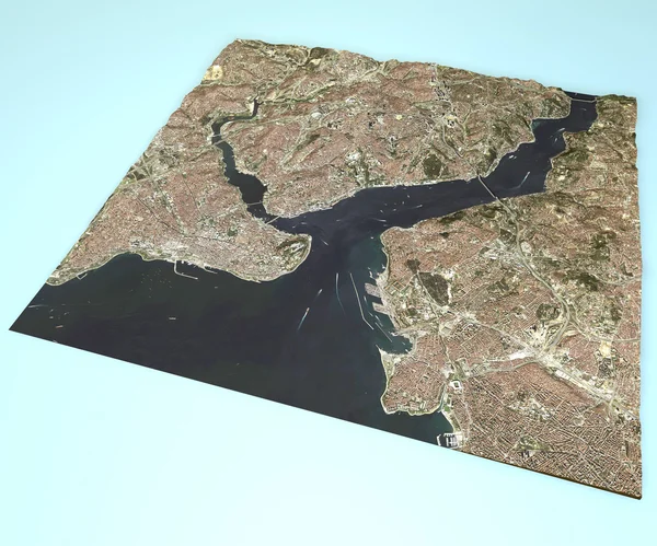
Stock image Istanbul, satellite view, map.
Published: Oct.15, 2014 17:03:08
Author: vampy1
Views: 190
Downloads: 0
File type: image / jpg
File size: 14.18 MB
Orginal size: 4724 x 3937 px
Available sizes:
Level: silver