Home
Images
Vectors
Videos
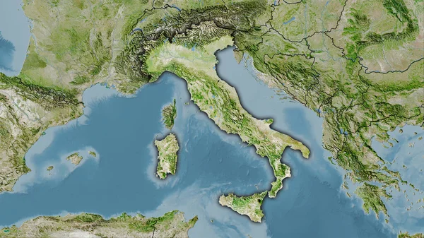
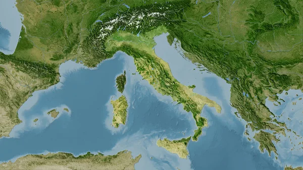
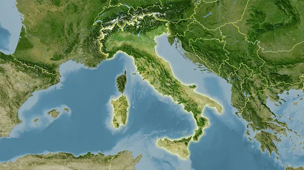
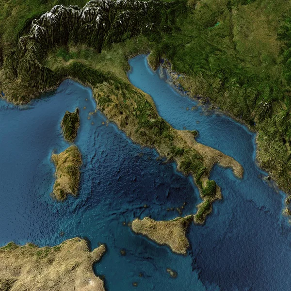
Stock image Italy 3d map
Published:
Feb.02, 2012 16:40:56
Author:
1xpert
Views:
1580
Downloads:
21
File type:
image
/
jpg
File size:
4.42 MB
Orginal size:
2000
x
2000
px
Available sizes:
S
(500 x 500)
M
(1000 x 1000)
L
(2000 x 2000)
EL0
(2000 x 2000)
Level:
silver
Download Image
Image topics:
Blue
Nobody
View
Space
Transparent
Business
Travel
Water
Air
Sea
European
3d
Landscape
Bird
Rest
Ecology
Fingers
Global
With
Mountains
Earth
Italy
Italian
Coast
Science
Detailed
Europe
Fly
Map
Geography
Waves
Mediterranean
Beaches
Shadows
Topography
Italia
Rome
Of
Sardinia
Alps
Adriatic
Monaco
Republic
Islands
Croatia
Channels
Ladies
Maps
Sicily
Peninsula
Similar stock images
Italy Area On The Satellite A Map In The Stereographic Projection - Raw Composition Of Raster Layers With Dark Glowing Outline
2880 × 1620
Italy Area On The Satellite C Map In The Stereographic Projection - Raw Composition Of Raster Layers With Light Glowing Outline
2880 × 1620
Zoom In On Peloponnese (decentralized Administration Of Greece) Extruded. Oblique Perspective. Satellite Imagery. 3D Rendering
3840 × 2160
Italy Area On The Satellite D Map In The Stereographic Projection - Raw Composition Of Raster Layers With Dark Glowing Outline
2880 × 1620
Apulia, Region Of Italy. Low Resolution Satellite Map
3840 × 2880
Italy Area On The Satellite C Map In The Stereographic Projection - Raw Composition Of Raster Layers With Dark Glowing Outline
2880 × 1620
Italy Area On The Satellite B Map In The Stereographic Projection - Raw Composition Of Raster Layers
2880 × 1620
Italy Area On The Satellite B Map In The Stereographic Projection - Raw Composition Of Raster Layers With Light Glowing Outline
2880 × 1620