Home
Images
Vectors
Videos
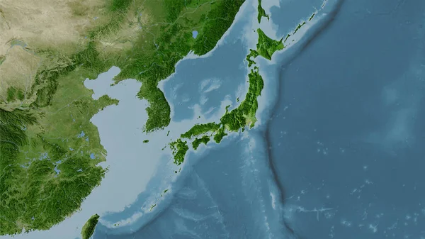
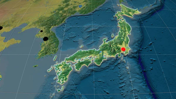
Stock image Japan area on the satellite C map in the stereographic projection - main composition
Published:
Sep.16, 2020 07:49:22
Author:
Yarr65
Views:
8
Downloads:
0
File type:
image
/
jpg
File size:
5.03 MB
Orginal size:
2880
x
1620
px
Available sizes:
S
(500 x 281)
M
(1000 x 563)
L
(2000 x 1125)
XL
(2880 x 1620)
EL0
(2880 x 1620)
Level:
bronze
Download Image
Image topics:
Isolated
Shape
Nature
Texture
Sea
Border
Global
Earth
Planet
World
Science
Capital
Composition
Elevation
Outline
Country
Map
Geography
Area
Land
Asia
Japan
Political
Projection
Satellite
Tokyo
Shoreline
Territory
Atlas
Graticule
Bumped
Cartographic
Stereographic
Bathymetry
Similar stock images
Japan Area On The Satellite B Map In The Stereographic Projection - Main Composition
2880 × 1620
Japan Area On The Satellite A Map In The Stereographic Projection - Main Composition
2880 × 1620
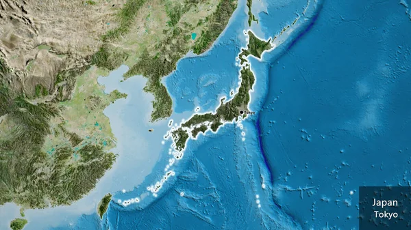
Japan Area On The Topographic Relief Map In The Stereographic Projection - Main Composition
2880 × 1620
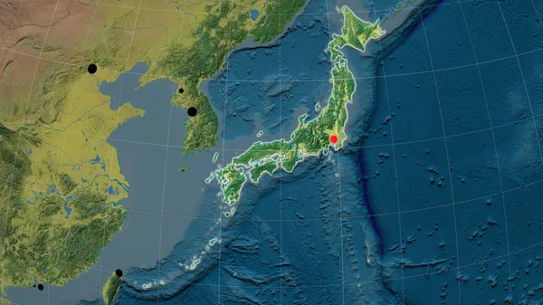
Japan And Its Neighborhood. Distant Oblique Perspective - Shape Outlined. Satellite Imagery
2880 × 1620
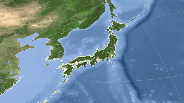
Japan Extruded On The Topographic Orthographic Map. Capital, Administrative Borders And Graticule
3840 × 2160
Japan Area On The Satellite B Map In The Stereographic Projection - Raw Composition Of Raster Layers
2880 × 1620
Close-up Of The Japan Border Area Highlighting With A Dark Overlay On A Satellite Map. Capital Point. Glow Around The Country Shape. English Name Of The Country And Its Capital
3840 × 2160
Japan Outlined On The Topographic Orthographic Map. Capital, Administrative Borders And Graticule
3840 × 2160