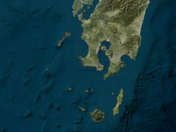
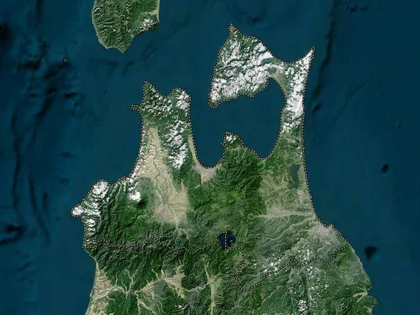
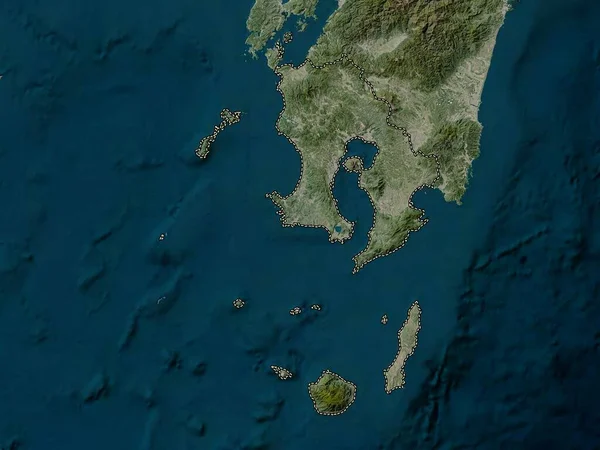
Stock image Kagoshima, prefecture of Japan. High resolution satellite map
Published: Oct.13, 2022 10:01:23
Author: Yarr65
Views: 1
Downloads: 0
File type: image / jpg
File size: 4.04 MB
Orginal size: 3840 x 2880 px
Available sizes:
Level: bronze