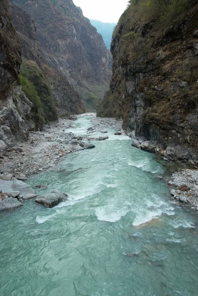
Stock image Landscape of Jinsha River or Jinshajiang River, the upper reaches of the Yangtze River (Yangtse River or Changjiang) through the Tiger Leaping Gorge (Hutiaoxia or Hutiao Gorge) in southwest Chinas Yunnan provinc

Published: Apr.05, 2019 11:11:38
Author: ChinaImages
Views: 6
Downloads: 0
File type: image / jpg
File size: 1.24 MB
Orginal size: 2484 x 3652 px
Available sizes:
Level: platinum