Home
Images
Vectors
Videos
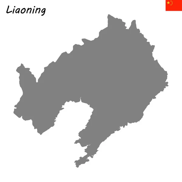
Stock image Liaoning China Map in grey
Published:
Mar.16, 2020 12:39:40
Author:
PantherMediaSeller
Views:
1
Downloads:
0
File type:
image
/
jpg
File size:
0 MB
Orginal size:
5421
x
5000
px
Available sizes:
S
(500 x 461)
M
(1000 x 922)
L
(2000 x 1845)
XL
(5421 x 5000)
EL0
(5421 x 5000)
Level:
platinum
Download Image
Image topics:
Graphic
Illustration
Design
Isolated
Shape
New
Black
Silhouette
Border
Modern
Gray
City
Flat
Grey
Simple
China
Country
Map
Area
Trip
State
Countries
Borders
Illustrations
Administrative
Department
States
Region
Division
Territory
Atlas
Flats
County
Divisions
Regional
Swarthy
2016
Districts
Liaoning
Provinces
Regions
Counties
Departments
Map Of The World
Jetblack
Similar stock images
High Quality Map Of Liaoning Is A Province Of China
4000 × 4000
Blank Map Province Liaoning Of China. High Quality Map Jiangsu With Municipalities On Transparent Background For Your Web Site Design, Logo, App, UI. People's Republic Of China. EPS10.
5000 × 5000
Guangdong China Map In Grey
6377 × 5000
Flat White Labeled Map Of Taiwanese Administrative Division (ROC - Republic Of China)
3600 × 4800
High Quality Map Province Of China
4000 × 4000
Taiwan Political Map Vector Illustration
2423 × 2360
Liaoning Contour Map Region Of China Vector Illustration
4000 × 4000
Polygonal Network Mesh High Resolution Vector Map Of Guangdong Province Abstractions
6338 × 3000