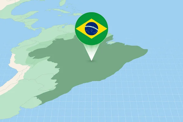
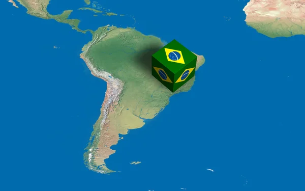
Stock image Location of Brazil over the map
Published: Apr.24, 2012 16:47:26
Author: marphotography
Views: 629
Downloads: 2
File type: image / jpg
File size: 1.72 MB
Orginal size: 4000 x 2500 px
Available sizes:
Level: bronze