Home
Images
Vectors
Videos
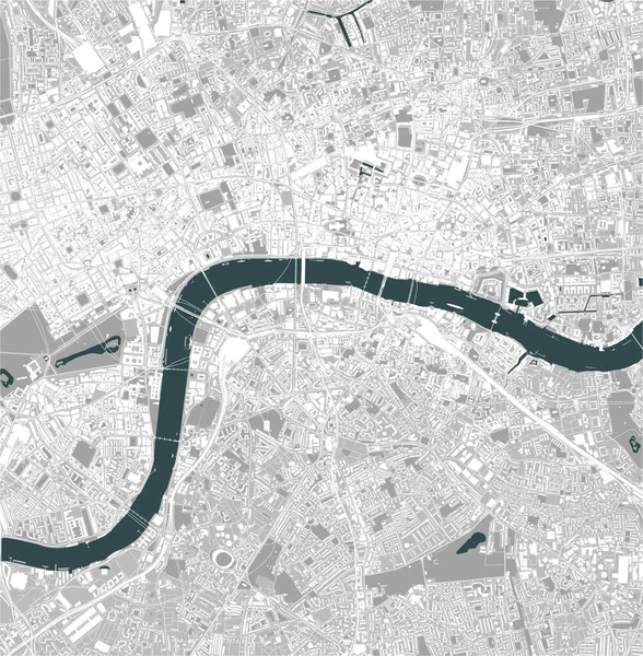
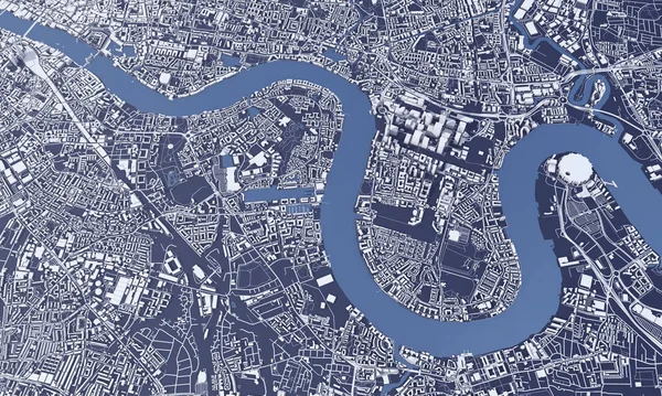
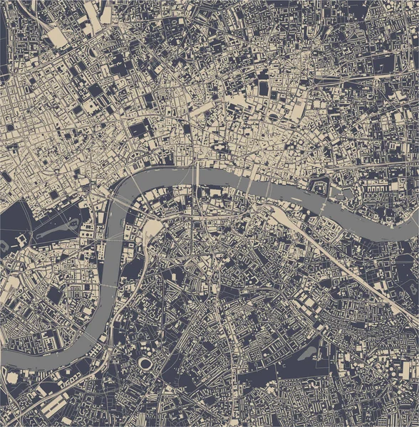
Stock image London city map 3D Rendering. Aerial satellite view.
Published:
Feb.24, 2020 12:12:26
Author:
InkDropCreative
Views:
20
Downloads:
1
File type:
image
/
jpg
File size:
14.61 MB
Orginal size:
5000
x
3000
px
Available sizes:
S
(500 x 300)
M
(1000 x 600)
L
(2000 x 1200)
XL
(5000 x 3000)
EL0
(5000 x 3000)
Level:
silver
Download Image
Image topics:
Background
View
Graphic
Illustration
Design
Travel
Park
Water
Transport
Transportation
European
Road
River
Architecture
Building
City
Skyscraper
Urban
Information
Street
Earth
Route
Town
Europe
Navigation
Country
District
Direction
Map
Cartography
Geography
Plan
Area
Uk
Location
Place
Destination
Aerial
Satellite
Britain
London
Gps
England
Roadmap
Atlas
Great Britain
3d Rendering
River Thames
London City
Similar stock images
Vector Map Of The City Of London, Great Britain
4167 × 4248
London City Map 3D Rendering. Aerial Satellite View.
5000 × 3000
Red London City Area Vector Background Map, Streets And Water Cartography Illustration. Widescreen Proportion, Digital Flat Design Streetmap.
11112 × 6251
Map Of The City Of London, Great Britain
4167 × 4248
Vector Map Of The City Of London, Great Britain
5251 × 3125
London Borough Of Tower Hamlets, London Borough Of England - Great Britain. High Resolution Satellite Map
3840 × 2880
Map Of The City Of London, Great Britain
5229 × 3478