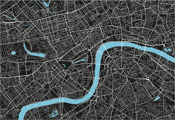
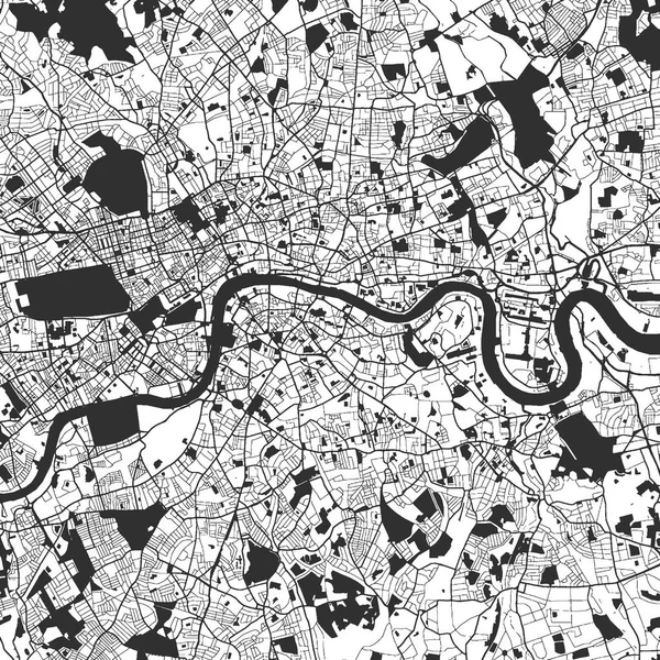
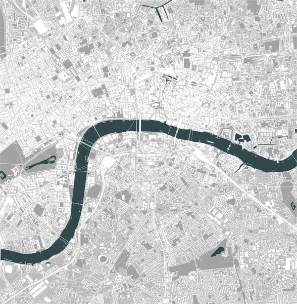
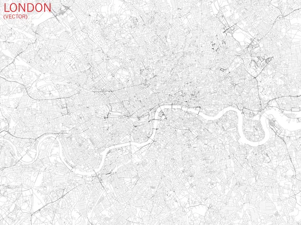
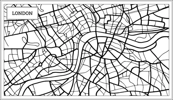
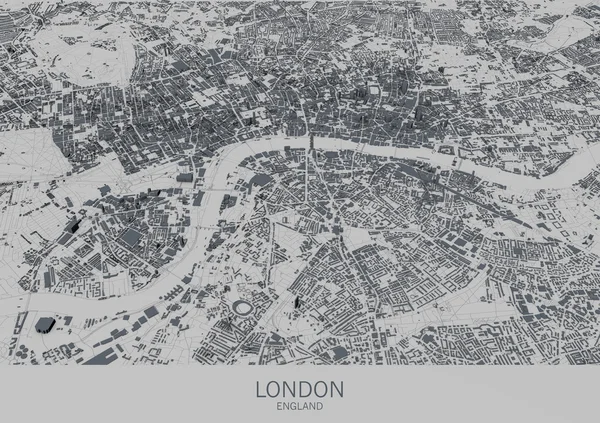
Stock image London map, satellite view, city, England
Published: Jul.28, 2016 07:54:08
Author: vampy1
Views: 155
Downloads: 0
File type: image / jpg
File size: 11.28 MB
Orginal size: 4724 x 3333 px
Available sizes:
Level: silver