Home
Images
Vectors
Videos
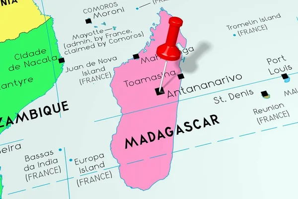
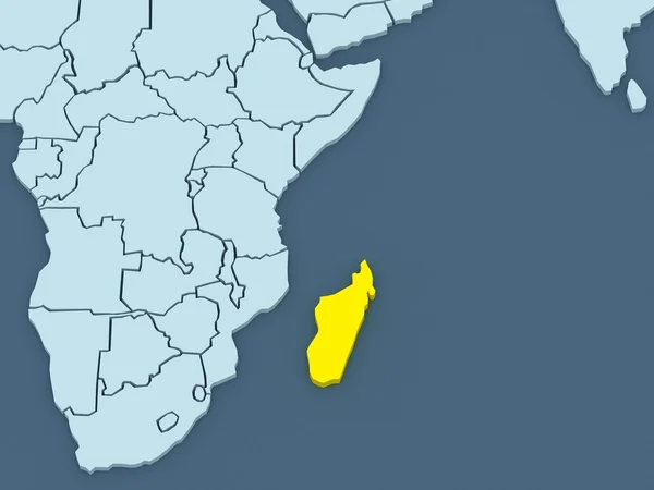
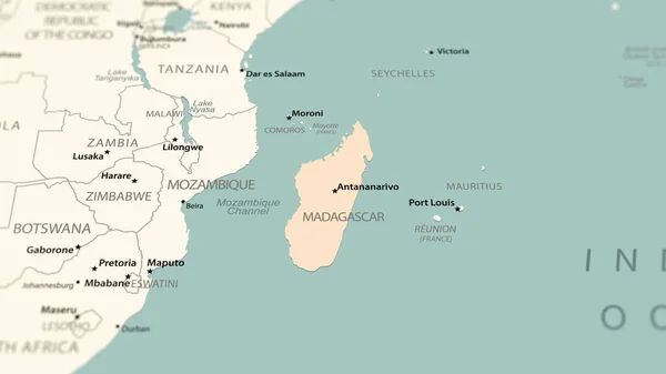
Stock image Madagascar on the world map. Shot with light depth of field focusing on the country.
Published:
Jan.23, 2024 12:25:20
Author:
gt29
Views:
2
Downloads:
1
File type:
image
/
jpg
File size:
0.52 MB
Orginal size:
3840
x
2160
px
Available sizes:
S
(500 x 281)
M
(1000 x 563)
L
(2000 x 1125)
XL
(3840 x 2160)
EL0
(3840 x 2160)
Level:
bronze
Download Image
Image topics:
Competition
Business
Concepts
Travel
Vacations
Ethnicity
Flying
Connection
Technology
Modern
Blank
Global
Data
Identity
Direction
Map
Cartography
Latitude
Longitude
Africa
Continent
Land
War
Topography
Borders
Unity
Cities
Highlighter
Positioning
Mainland
Archival
Capitals
Drone
Madagascar
Comoros
Mozambique
Antananarivo
Infographic
World Map
Three Dimensional
Global Communications
Travel Destinations
No People
Aerial View
Planet Earth
Madagascar Island
Madagascar Map
Similar stock images
Close-up Of The Kenya Border Area Highlighting With A Dark Overlay On A Satellite Map. Capital Point. Bevelled Edges Of The Country Shape. English Name Of The Country And Its Capital
3840 × 2160
Madagascar, Antananarivo - Capital City, Pinned On Political Map
6000 × 4000
Map Of Worlds. Madagascar.
5600 × 4200
Close-up Of The Kenya Border Area Highlighting With A Dark Overlay On A Satellite Map. Capital Point. Glow Around The Country Shape. English Name Of The Country And Its Capital
3840 × 2160
Mozambique Area On The Satellite B Map In The Stereographic Projection - Raw Composition Of Raster Layers
2880 × 1620
Zimbabwe On Realistic Model Of Planet Earth With Country Borders And Very Detailed Planet Surface. 3D Illustration. Elements Of This Image Furnished By NASA.
5000 × 3750
Botswana And Its Neighborhood. Distant Oblique Perspective - Shape Outlined. Color Physical Map
2880 × 1620