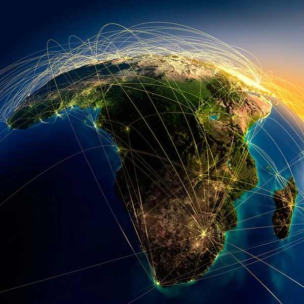
Stock image Main air routes in Africa and Madagascar
Published: Aug.28, 2012 08:16:07
Author: Antartis
Views: 2285
Downloads: 144
File type: image / jpg
File size: 11.4 MB
Orginal size: 5000 x 5000 px
Available sizes:
Level: silver