Home
Images
Vectors
Videos
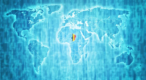
Stock image Mali territory on world map
Published:
Dec.17, 2014 18:27:45
Author:
michal812
Views:
47
Downloads:
0
File type:
image
/
jpg
File size:
9.59 MB
Orginal size:
5227
x
2876
px
Available sizes:
S
(500 x 275)
M
(1000 x 550)
L
(2000 x 1100)
XL
(5227 x 2876)
EL0
(5227 x 2876)
Level:
bronze
Download Image
Image topics:
Blue
Computer
On
Illustration
Isolated
Clipping
Path
New
Travel
Technology
Border
Flag
Symbol
Digital
With
World
Europe
Country
Map
Cartography
Geography
National
Africa
Asia
Emblem
Location
America
Borders
Political
Territory
Atlas
Nation
Actual
Mali
Similar stock images
Central African Republic Territory On World Map
5227 × 2876
Democratic Republic Of Congo Territory On World Map
5227 × 2876
Cameroon Territory On World Map
5227 × 2876
Ethiopia Territory On World Map
5227 × 2876
Chad Territory On World Map
5227 × 2876
Algeria Territory On World Map
5227 × 2876
Yemen Territory On World Map
5227 × 2876
Economic Community Of West African States Territory On World Map
5000 × 2649