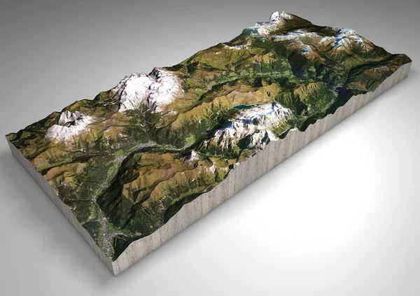
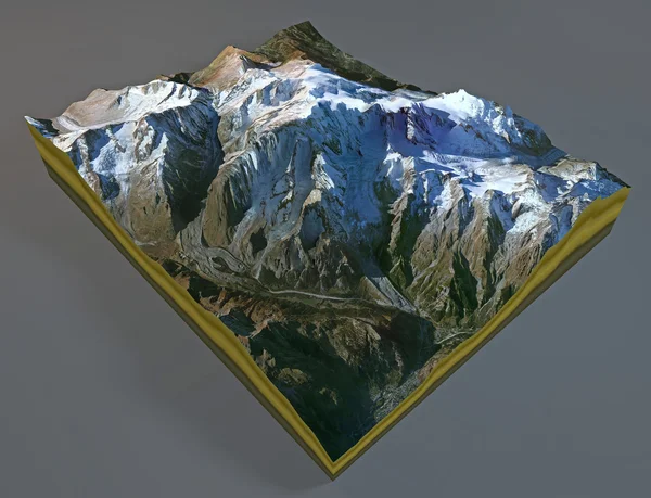
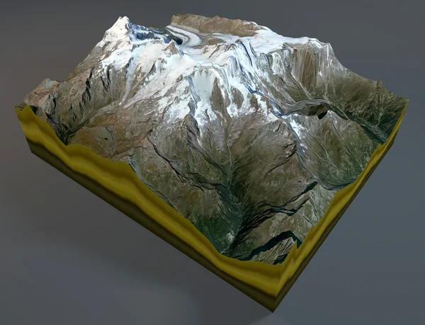
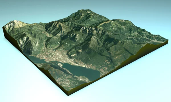
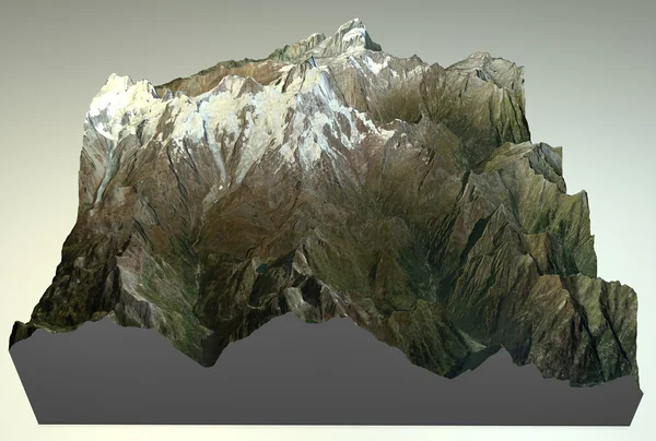
Stock image Map aerial view of Monte Rosa
Published: Aug.06, 2014 07:04:25
Author: vampy1
Views: 95
Downloads: 1
File type: image / jpg
File size: 10.7 MB
Orginal size: 5511 x 3715 px
Available sizes:
Level: silver