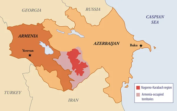
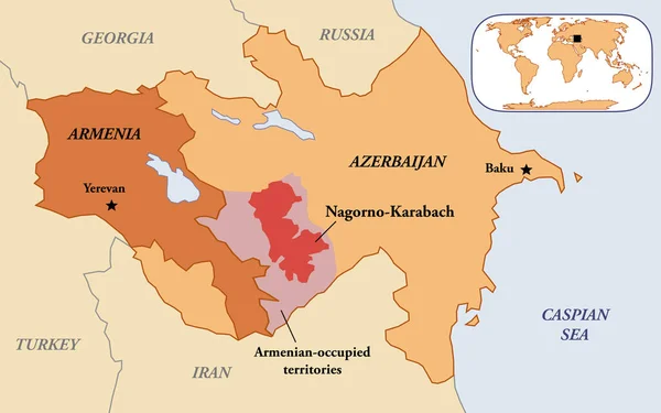
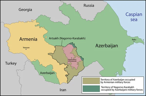
Stock image Map illustration of the Nagorno-Karabakh region between Armenia and Azerbaijan
Published: Apr.10, 2023 14:19:20
Author: dkaramit
Views: 37
Downloads: 3
File type: image / jpg
File size: 0.96 MB
Orginal size: 3200 x 2000 px
Available sizes:
Level: beginner
Similar stock images
Artsakh Or The Republic Of Nagorno-Karabakh Is A Partially Recognized Country In The South Caucasus
7001 × 4601