Home
Images
Vectors
Videos
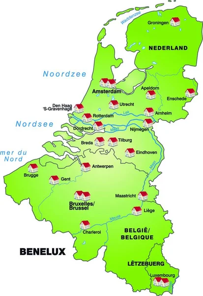
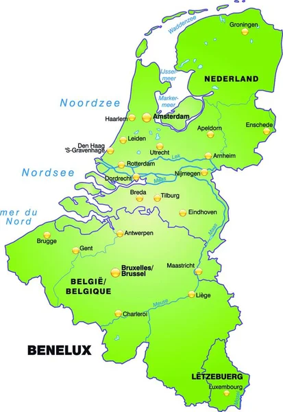
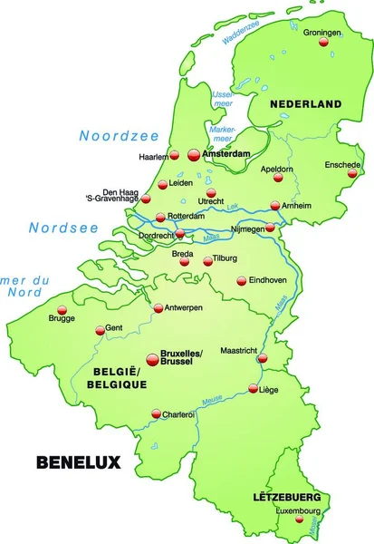
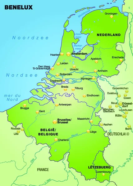
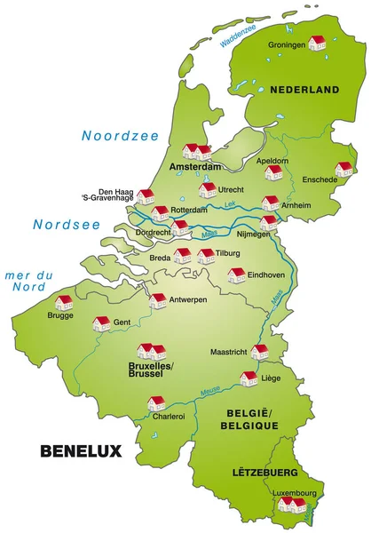
Stock image map of benelux countries as infographic in green
Published:
Apr.15, 2020 10:34:06
Author:
PantherMediaSeller
Views:
2
Downloads:
0
File type:
image
/
jpg
File size:
0 MB
Orginal size:
3381
x
4851
px
Available sizes:
S
(348 x 500)
M
(697 x 1000)
L
(1394 x 2000)
XL
(3381 x 4851)
EL0
(3381 x 4851)
Level:
platinum
Download Image
Image topics:
Green
Background
Graphic
Illustration
Travel
Card
Modern
Backdrop
Information
Education
Earth
Planet
World
Project
Detailed
Europe
Globe
Draft
Country
Map
Cartography
Geography
Plan
Land
Topography
Countries
Borders
Political
Geographic
Brussels
Atlas
Amsterdam
Rotterdam
Suffer
Geographical
Antwerp
Benelux
Bruges
Ghent
Infographic
Map Of The World
Chaise Longue
Web Design
Substratums
Similar stock images
Map Of Benelux Countries As An Overview Map In Green
3534 × 4943
The Card Is Modern In Design And Pictorially Illustrated ... The Card Can Be Used Immediately And Is Optimized For Printing And Use In Digital Media. The Color Mode Is Rgb.
3032 × 4392
The Map Is Modern And Contains All The Important Topographic Information ... The Card Can Be Used Immediately And Is Optimized For Printing And Use In Digital Media. The Color Mode Is Rgb.
3032 × 4392
The Card Is Modern And Contains All Important Topographical Information ... The Card Can Be Used Immediately And Is Optimized For Printing And Application In Digital Medien..der Color Mode Is Rgb.
3032 × 4392
Map Of Benelux Countries As An Overview Map In Pastel Green
3445 × 4840
The Card Is Modern And Contains All Important Topographical Information ... The Card Can Be Used Immediately And Is Optimized For Printing And Application In Digital Medien..der Color Mode Is Rgb.
3032 × 4392
The Map Is Designed In A Modern Way And Contains All The Important Topographical Information ... The Map Can Be Used Immediately And Is Optimized For Printing And Use In Digital Media. The Color Mode Is Rgb.
3248 × 4544
Map Of Benelux Countries With Transport Network In Pastel Green
3430 × 4845