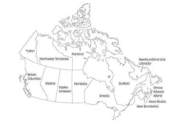
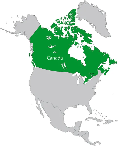
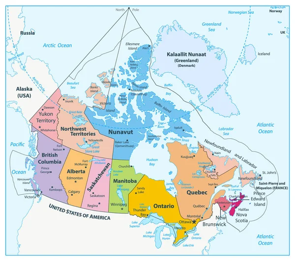
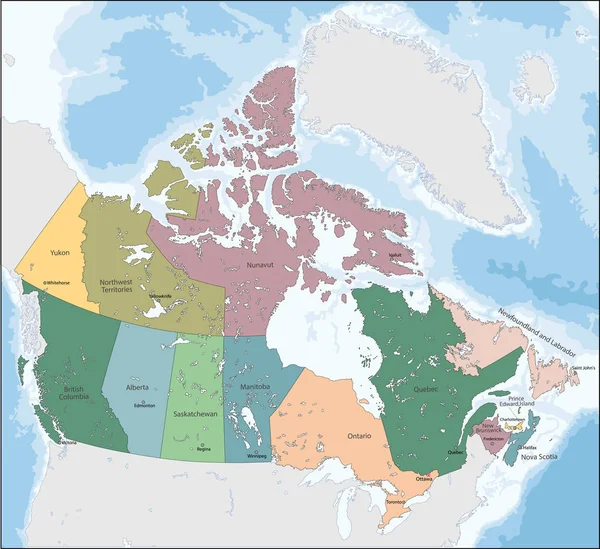
Stock image Map of Canada
Published: May.06, 2012 13:54:21
Author: lina0486
Views: 193
Downloads: 0
File type: image / jpg
File size: 1.71 MB
Orginal size: 3300 x 2398 px
Available sizes:
Level: bronze