photo free
Home Images Vectors Videos

Stock image Map of Cape Verde isolated
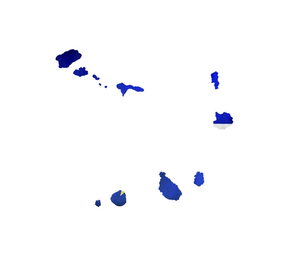
Stock image Map of Cape Verde isolated
Published: Mar.05, 2012 16:12:57
Author: Alexis84
Views: 196
Downloads: 1
File type: image / jpg
File size: 0.89 MB
Orginal size: 3216 x 2848 px
Available sizes:
S
(500 x 443)
M
(1000 x 886)
L
(2000 x 1771)
XL
(3216 x 2848)
EL0
(3216 x 2848)
Level: silver
Download Image
Image topics:

Similar stock images

stock image Map of Cape Verde with waving flag isolated on white

Map Of Cape Verde With Waving Flag Isolated On White

3216 × 2848
stock image Cape Verde 3d map with national color

Cape Verde 3d Map With National Color

2476 × 2024
stock vector Cabo Verde map Geometric style country outline Extraordinary violet vector illustration

Cabo Verde Map Geometric Style Country Outline Extraordinary Violet Vector Illustration

5480 × 5480
stock vector Kagoshima Prefecture (Administrative divisions of Japan, Prefectures of Japan) map vector illustration, scribble sketch Kagoshima map

Kagoshima Prefecture (Administrative Divisions Of Japan, Prefectures Of Japan) Map Vector Illustration, Scribble Sketch Kagoshima Map

7087 × 4726
stock image Icon Illustration with Four Color Variations

Icon Illustration With Four Color Variations

2408 × 2625
stock vector Philippines geometric polygonal mosaic style maps collection Bright abstract tessellation low

Philippines Geometric Polygonal Mosaic Style Maps Collection Bright Abstract Tessellation Low

8333 × 8333
stock vector 3D map of Hawaii (United States of America) - black, red, blue and green - vector illustration

3D Map Of Hawaii (United States Of America) - Black, Red, Blue And Green - Vector Illustration

7087 × 4724
stock vector Vanuatu high resolution map with national flag.

Vanuatu High Resolution Map With National Flag.

8350 × 8350