Home
Images
Vectors
Videos
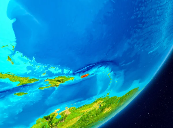
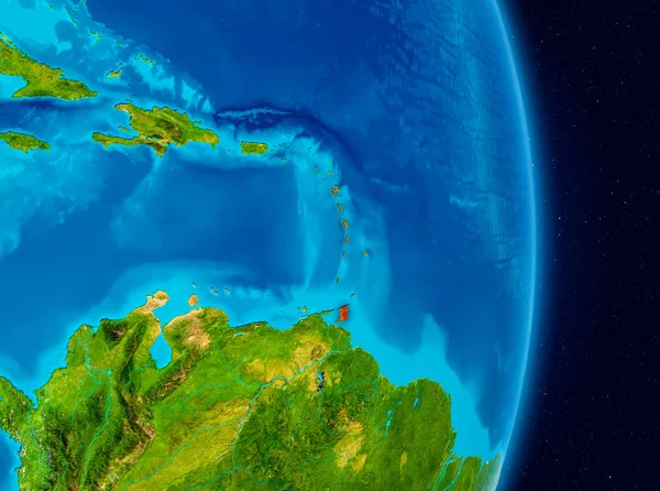
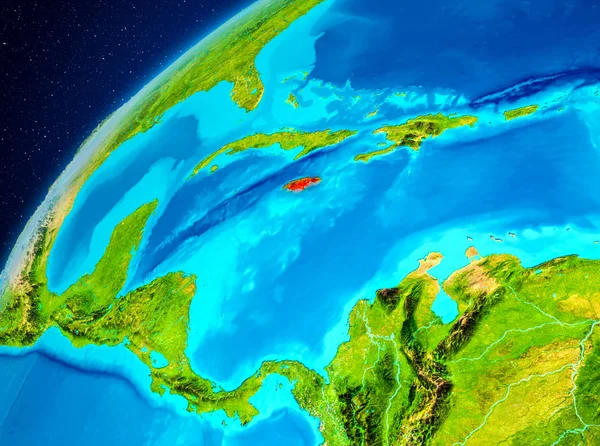
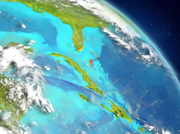
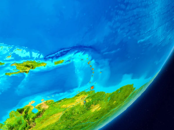
Stock image Map of Caribbean as seen from space on planet Earth. 3D illustration. Elements of this image furnished by NASA.
Published:
May.23, 2018 09:51:59
Author:
tom.griger
Views:
5
Downloads:
0
File type:
image
/
jpg
File size:
7.84 MB
Orginal size:
5000
x
3722
px
Available sizes:
S
(500 x 372)
M
(1000 x 744)
L
(2000 x 1489)
XL
(5000 x 3722)
EL0
(5000 x 3722)
Level:
bronze
Download Image
Image topics:
Red
Illustration
Space
Earth
World
Globe
Country
Map
Orbit
International
Political
Caribbean
Highlighted
Barbuda
Aruba
Curacao
Antigua
Dominica
Barbados
Grenada
Martinique
Guadeloupe
South American
3d Render
Caribbean Sea
South America
Satellite View
Trinidad And Tobago
Saint Lucia
Virgin Islands
Cayman Islands
Saint Vincent And Grenadines
Similar stock images
Map Of Puerto Rico As Seen From Space On Planet Earth. 3D Illustration. Elements Of This Image Furnished By NASA.
5000 × 3722
Country Of Caribbean In Red On Planet Earth. 3D Illustration. Elements Of This Image Furnished By NASA.
5000 × 3722
Space View Of Puerto Rico Highlighted In Red On Planet Earth. 3D Illustration. Elements Of This Image Furnished By NASA.
5000 × 3722
Puerto Rico On Earth
5000 × 3750
Satellite View Of Puerto Rico Highlighted In Red On Planet Earth With Borderlines. 3D Illustration. Elements Of This Image Furnished By NASA.
5000 × 3750
Jamaica On Earth From Space
5000 × 3722
Orbit View Of Puerto Rico Highlighted In Red On Planet Earth. 3D Illustration. Elements Of This Image Furnished By NASA.
5000 × 3722
Illustration Of Bahamas As Seen From Earth Orbit. 3D Illustration. Elements Of This Image Furnished By NASA.
5000 × 3722