Home
Images
Vectors
Videos
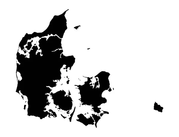
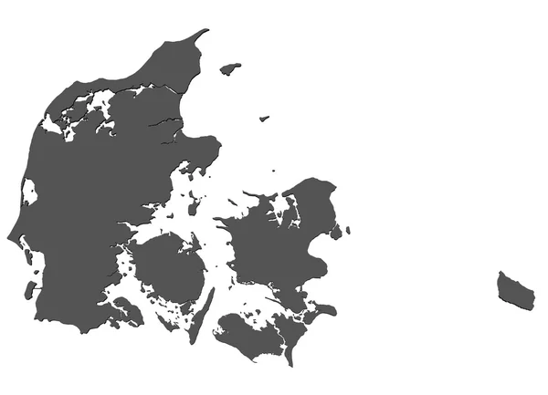
Stock image Map of Denmark - isolated
Published:
May.06, 2010 13:05:09
Author:
jogg2002
Views:
301
Downloads:
1
File type:
image
/
jpg
File size:
7.2 MB
Orginal size:
9000
x
6500
px
Available sizes:
S
(500 x 361)
M
(1000 x 722)
L
(2000 x 1444)
XL
(9000 x 6500)
EL0
(9000 x 6500)
Level:
bronze
Download Image
Image topics:
Isolated
Shape
Travel
Cutout
Form
European
Cut
Silhouette
Border
3d
Symbol
Shadow
Earth
Out
Scandinavia
Europe
Navigation
Country
Map
Geography
Continent
Land
State
Navigate
Rendered
Great
Sightseeing
Of
Union
Community
Denmark
Central
A
Gps
England
Borderline
Scandinavian
Danish
Sights
Representation
As
Geographical
Kopenhagen
Similar stock images
Denmark Map On White Background. Vector Illustration.
4584 × 4167
Denmark Black Silhouette Map Outline Isolated On White 3D Illustration
6000 × 6000
High Detailed Vector Map. Denmark. New Map 2023
10000 × 10000
Denmark Silhouette Map
5000 × 4151
Denmark Map Icon Background Vector Illustration Design
8459 × 8459
Map Of Denmark Filled With Black Color
5800 × 4720
Black Map Of Denmark
4500 × 3643
Denmark Map Isolated On Png Or Transparent Background,Symbol Of Denmark, Template For Banner,card,advertising, Magazine, And Business Matching Country Poster, Vector Illustration
8000 × 6137