Home
Images
Vectors
Videos
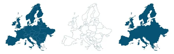
Stock image Map of Europe and European union divided to separates states blank
Published:
Apr.15, 2021 16:23:51
Author:
Mondi.h
Views:
2
Downloads:
0
File type:
image
/
jpg
File size:
1.62 MB
Orginal size:
5661
x
3100
px
Available sizes:
S
(500 x 274)
M
(1000 x 548)
L
(2000 x 1095)
XL
(5661 x 3100)
EL0
(5661 x 3100)
Level:
bronze
Download Image
Image topics:
Green
Color
Colors
Yellow
Blue
Background
Colorful
Colored
Illustration
Design
Isolated
Shape
Travel
Orange
European
Silhouette
Border
Violet
Blank
Contour
Earth
World
Italy
France
Tourism
Europe
Raster
Individual
Outline
Country
Map
Cartography
Geography
Continent
Germany
State
Separate
Island
Skeleton
Community
States
Atlas
White Background
Isolated On White
European Union
Euro Area
Coloring Book
Europe Map
Wall Map
European Union Map
Similar stock images
Europe Countries Maps
6000 × 4636
European Union Countries Maps
6000 × 4636
Dotted European Union Map Abstractions
8100 × 4750
Reversed Or Upside Down Political Map Of World. South-up Orientation. Vector Illustration
6000 × 3506
European Union - Maps Collection. Six Maps Of Different Designs. Set Of Vector Illustrations
9353 × 6001
High Quality Map Europe With Borders Of The Regions
8596 × 2676
Vector Rainbow Colored Dot Map Of Denmark
4851 × 3298
Vector Illustration Of Multicolored Abstract Striped Map Of Albania
4500 × 4500