Home
Images
Vectors
Videos
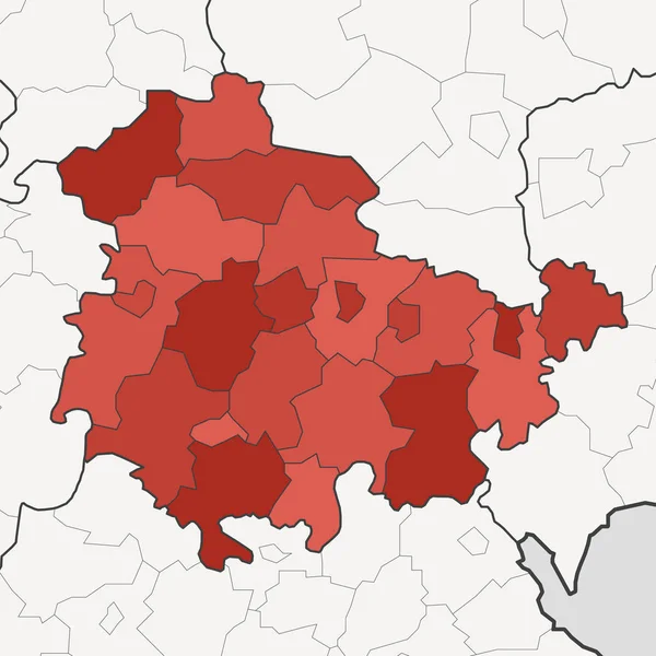
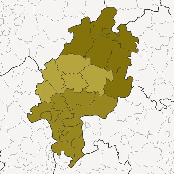
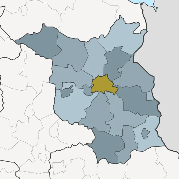
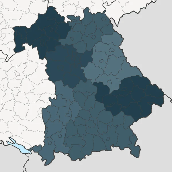
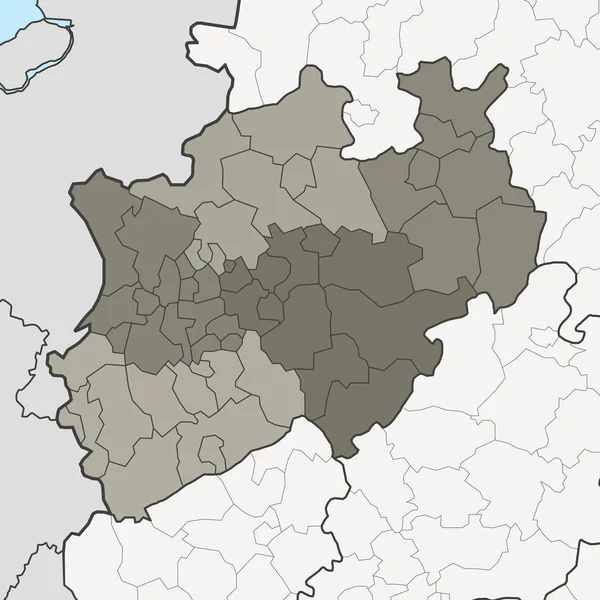
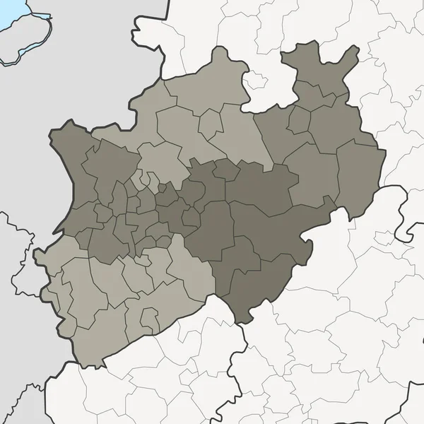
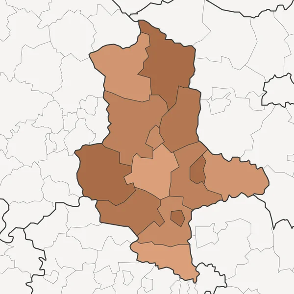
Stock image map of germany federal state saxony-anhalt with neighboring federal states
Published:
Apr.09, 2020 14:10:34
Author:
PantherMediaSeller
Views:
1
Downloads:
0
File type:
image
/
jpg
File size:
0 MB
Orginal size:
5079
x
5079
px
Available sizes:
S
(500 x 500)
M
(1000 x 1000)
L
(2000 x 2000)
XL
(5079 x 5079)
EL0
(5079 x 5079)
Level:
platinum
Download Image
Image topics:
Background
Detail
Pattern
Silhouette
Border
Card
Backdrop
School
With
Euro
Detailed
Europe
East
Outline
German
Map
Geography
League
State
Coloured
Insulated
Politics
Geographic
States
Export
Federal
Apart
Atlas
Extra
Saxony
Optional
Neighboring
Anhalt
Saxony Anhalt
East Germany
Web Design
Map Of Germany
Similar stock images
Map Of Thuringia With Neighboring Federal States
5079 × 5079
Map Of Hesse With Neighboring Federal States
5079 × 5079
Map Of Brandenburg With Neighboring Federal States
5079 × 5079
Map Of Bavaria With Neighboring Federal States
5079 × 5079
Map Of North Rhine-Westphalia With Neighboring Federal States
5079 × 5079
Highly Detailed Editable Political Map With Separated Layers. Ukraine.
5671 × 4005
Map Of Germany Federal State North Rhine-westphalia With Neighboring Federal States
5079 × 5079
Simple Vector Pastel Map With Black Borders Of Neighborhoods Of Madrid, Spain
4469 × 5305