Home
Images
Vectors
Videos
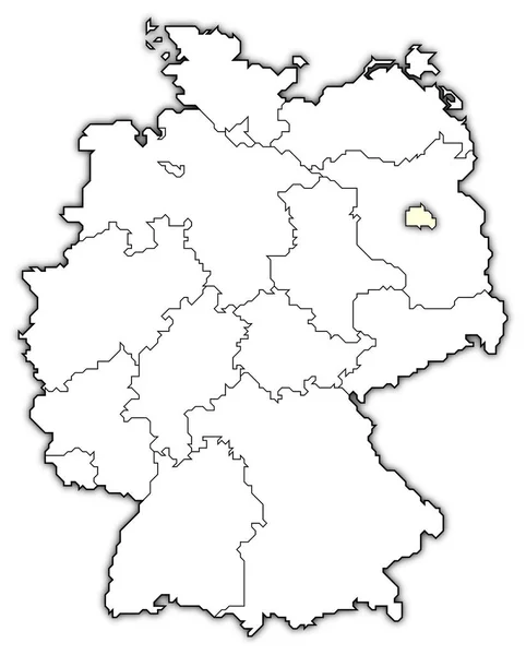
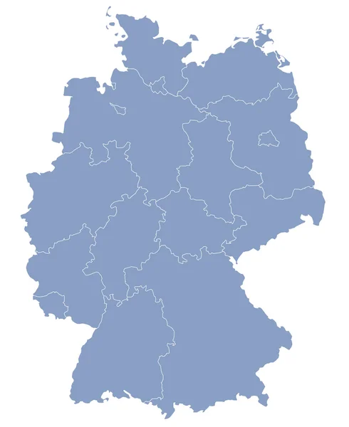
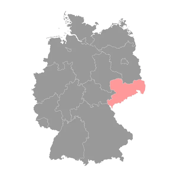
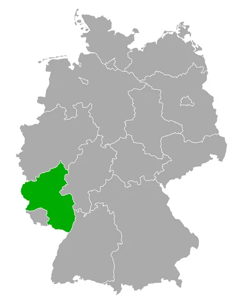
Stock image Map of Germany showing states
Published:
Apr.10, 2020 12:59:02
Author:
PantherMediaSeller
Views:
2
Downloads:
0
File type:
image
/
jpg
File size:
0 MB
Orginal size:
2000
x
2616
px
Available sizes:
S
(382 x 500)
M
(765 x 1000)
L
(1529 x 2000)
XL
(2000 x 2616)
EL0
(2000 x 2616)
Level:
platinum
Download Image
Image topics:
Green
Element
Illustration
Sign
European
Symbol
Icon
Illustrated
Map
Geography
Germany
Place
Destination
States
Berlin
Deutschland
Graphical
Mapping
Geographical
Provinces
Regions
Similar stock images
Baden Wurttemberg State Map. Vector Illustration.
4000 × 4000
Political Map Of Germany With The Several States Where Berlin Is Highlighted.
5512 × 6850
Bavaria State Map. Vector Illustration.
4000 × 4000
Vector Map Of Germany
3000 × 3666
Rhineland Palatinate State Map. Vector Illustration.
4000 × 4000
Saxony State Map. Vector Illustration.
4000 × 4000
Map Of Rhineland-Palatinate In Germany
4000 × 5000
Map Of Thuringia In Germany
4000 × 5000