photo free
Home Images Vectors Videos

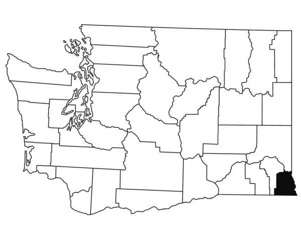
Stock image Map of hoonah angoon borough in Alaska state on white background. single borough map highlighted by black colour on Alaska map. UNITED STATES, US

Stock image Map of hoonah angoon borough in Alaska state on white background. single borough map highlighted by black colour on Alaska map. UNITED STATES, US
Published: Jul.18, 2024 06:35:45
Author: akhtaransari
Views: 0
Downloads: 0
File type: image / jpg
File size: 4.36 MB
Orginal size: 8000 x 6667 px
Available sizes:
S
(500 x 417)
M
(1000 x 833)
L
(2000 x 1667)
XL
(8000 x 6667)
EL0
(8000 x 6667)
Level: beginner
Download Image
Image topics:

Similar stock images

stock image United States Alaska area on the administrative divisions map in the stereographic projection - raw composition of raster layers with dark glowing outline

United States Alaska Area On The Administrative Divisions Map In The Stereographic Projection - Raw Composition Of Raster Layers With Dark Glowing Outline

2880 × 1620
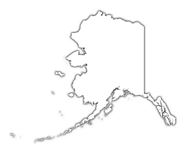
stock image Alaska (USA) outline map with shadow

Alaska (USA) Outline Map With Shadow

3558 × 2932
stock image State of Alaska flag map

State Of Alaska Flag Map

3402 × 2013
stock image Shape of Wisconsin, state of Mainland United States, with its capital isolated on white background. Bilevel elevation map. 3D rendering

Shape Of Wisconsin, State Of Mainland United States, With Its Capital Isolated On White Background. Bilevel Elevation Map. 3D Rendering

3751 × 3836
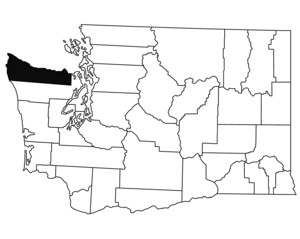
stock image Map of clallam County in Washington DC state on white background. single County map highlighted by black colour on WASHINGTON map. UNITED STATES, US

Map Of Clallam County In Washington DC State On White Background. Single County Map Highlighted By Black Colour On WASHINGTON Map. UNITED STATES, US

5000 × 4000
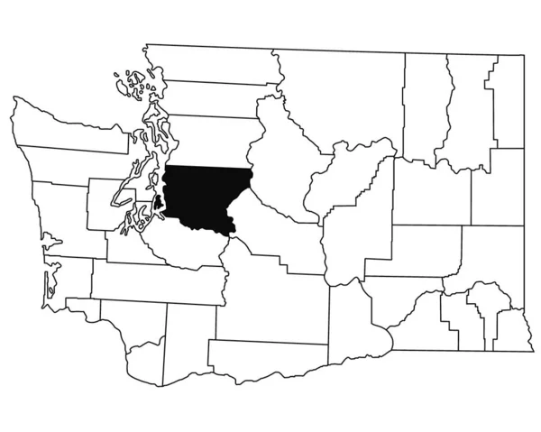
stock image Map of King County in Washington DC state on white background. single County map highlighted by black colour on WASHINGTON map. UNITED STATES, US

Map Of King County In Washington DC State On White Background. Single County Map Highlighted By Black Colour On WASHINGTON Map. UNITED STATES, US

5000 × 4000
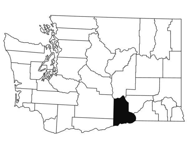
stock image Map of Benton County in Washington DC state on white background. single County map highlighted by black colour on WASHINGTON map. UNITED STATES, US

Map Of Benton County In Washington DC State On White Background. Single County Map Highlighted By Black Colour On WASHINGTON Map. UNITED STATES, US

5000 × 4000
stock image Map of Asotin County in Washington DC state on white background. single County map highlighted by black colour on WASHINGTON map. UNITED STATES, US

Map Of Asotin County In Washington DC State On White Background. Single County Map Highlighted By Black Colour On WASHINGTON Map. UNITED STATES, US

5000 × 4000