Home
Images
Vectors
Videos
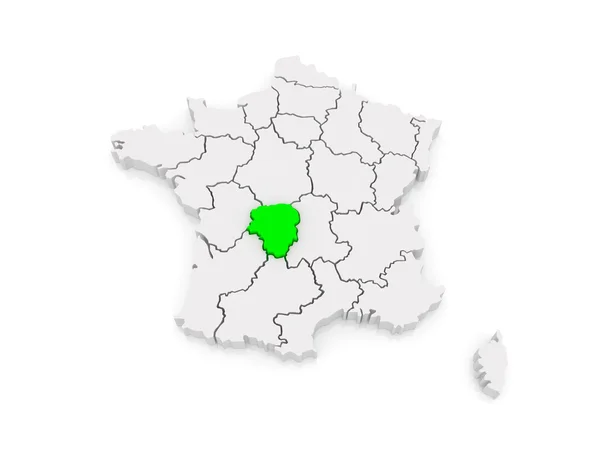
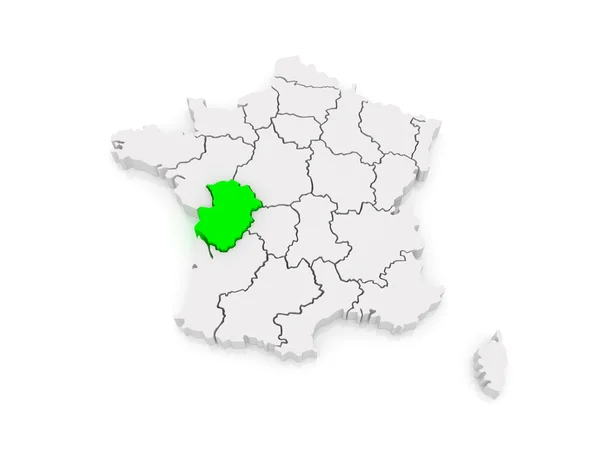
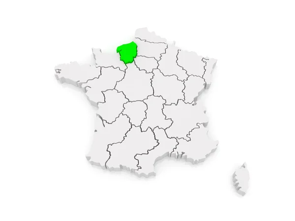
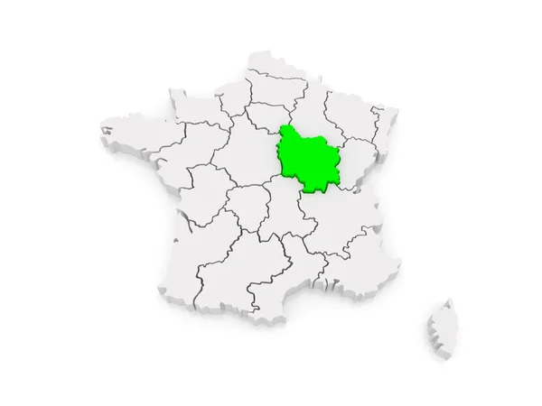
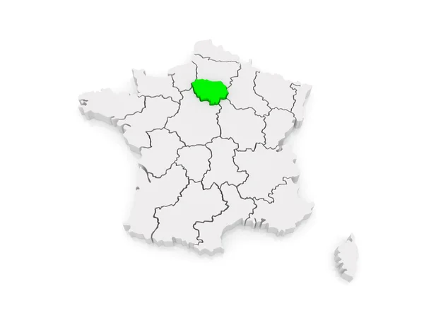
Stock image Map of Ile-de-France. France.
Published:
Jul.19, 2014 09:08:28
Author:
Tatiana53
Views:
1
Downloads:
0
File type:
image
/
jpg
File size:
1.74 MB
Orginal size:
5600
x
4200
px
Available sizes:
S
(500 x 375)
M
(1000 x 750)
L
(2000 x 1500)
XL
(5600 x 4200)
EL0
(5600 x 4200)
Level:
bronze
Download Image
Image topics:
Illustration
Sign
Travel
European
Border
3d
Symbol
Icon
France
Tourism
Europe
Country
Map
Cartography
Geography
National
State
International
Of
Politics
Diplomacy
Province
Nation
Embassy
Regions
Republics
Ile De France
île
Similar stock images
Map Of Limousin. France.
5600 × 4200
Map Of Centre (French Region). France.
5600 × 4200
Map Of Poitou - Charentes. France.
5600 × 4200
Map Of Upper Normandy. France.
5600 × 4200
Map Of Burgundy. France.
5600 × 4200
Map Of Franche-Comte. France.
5600 × 4200
Map Of Champagne - Ardennes. France.
5600 × 4200
Map Of Auvergne. France.
5600 × 4200