Home
Images
Vectors
Videos
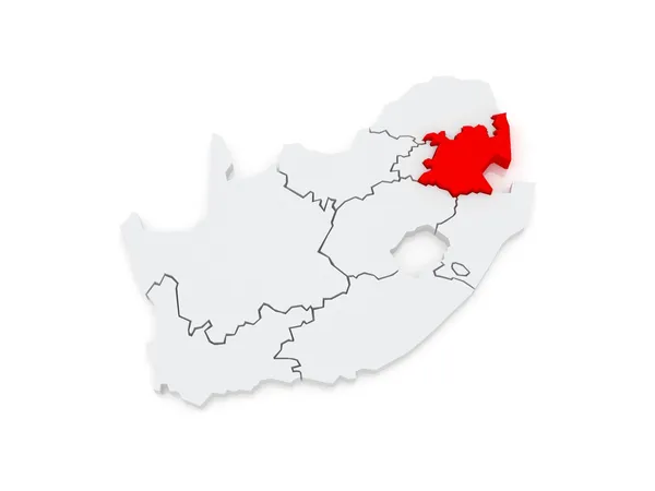
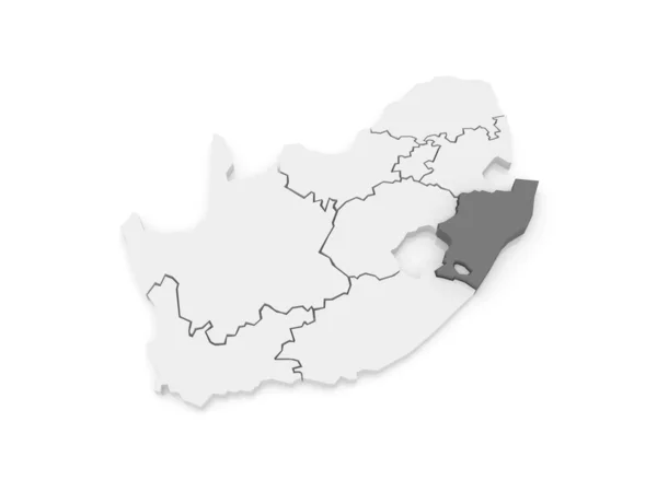
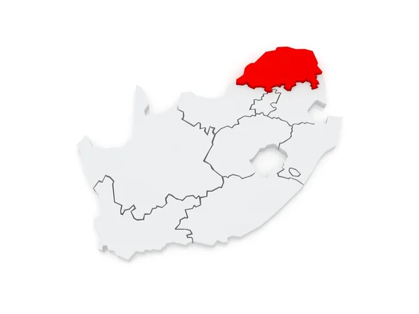
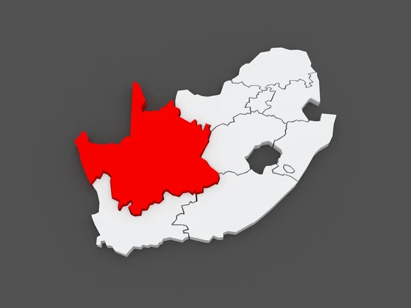
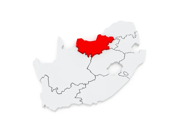
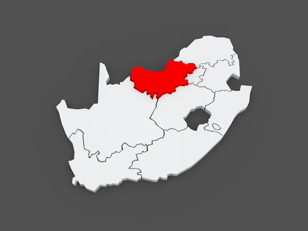
Stock image Map of KwaZulu-Natal (Pietermaritzburg). South Africa.
Published:
Jul.13, 2014 16:16:54
Author:
Tatiana53
Views:
71
Downloads:
2
File type:
image
/
jpg
File size:
1.85 MB
Orginal size:
5600
x
4200
px
Available sizes:
S
(500 x 375)
M
(1000 x 750)
L
(2000 x 1500)
XL
(5600 x 4200)
EL0
(5600 x 4200)
Level:
bronze
Download Image
Image topics:
Illustration
Sign
Travel
Border
3d
Symbol
Icon
Tourism
South
Country
Map
Cartography
Geography
National
Africa
State
International
Of
Politics
Diplomacy
Province
Natal
Nation
South Africa
Embassy
Regions
Republics
Kwazulu
Kwazulu Natal
Pietermaritzburg
Africa Map
Similar stock images
Map Of Mpumalanga (Nelspruit). South Africa.
5600 × 4200
Map Of KwaZulu-Natal (Pietermaritzburg). South Africa.
5600 × 4200
Map Of Free State (Bloemfontein). South Africa.
5600 × 4200
Map Of Gauteng (Johannesburg). South Africa.
5600 × 4200
Map Of Limpopo (Polokwane). South Africa.
5600 × 4200
Map Of Northern Cape (Kimberley). South Africa.
5600 × 4200
Map Of North West (Mafikeng). South Africa.
5600 × 4200
Map Of North West (Mafikeng). South Africa.
5600 × 4200