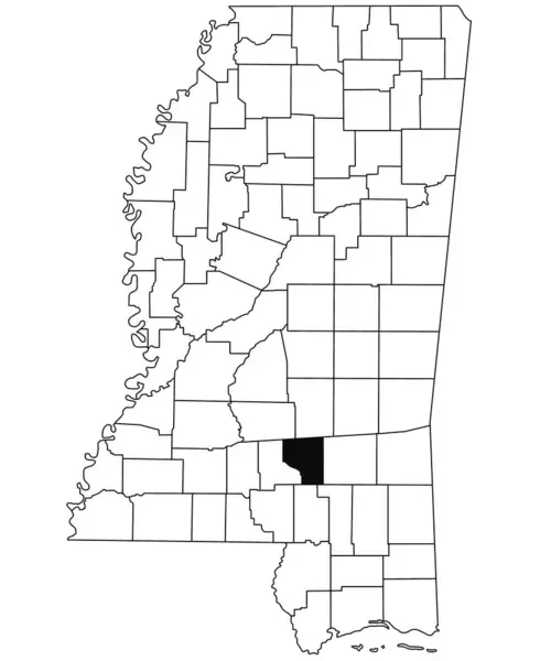
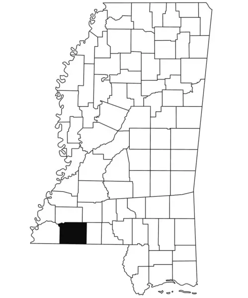
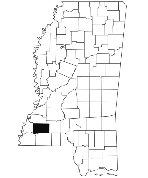
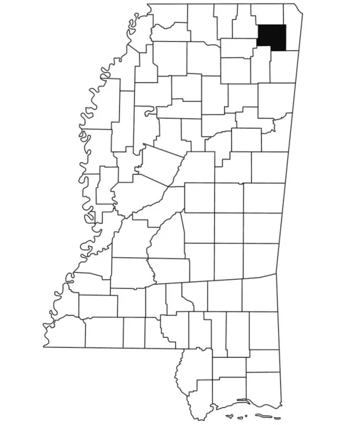
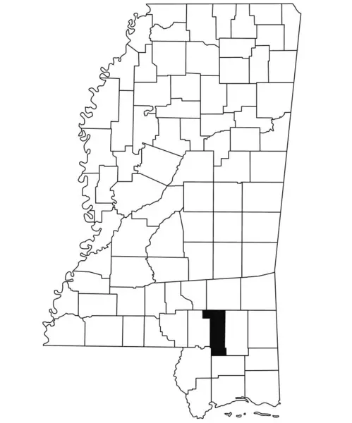
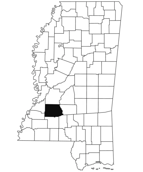
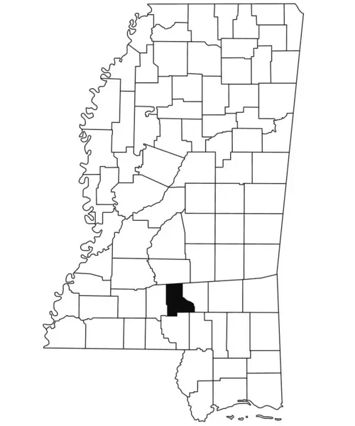
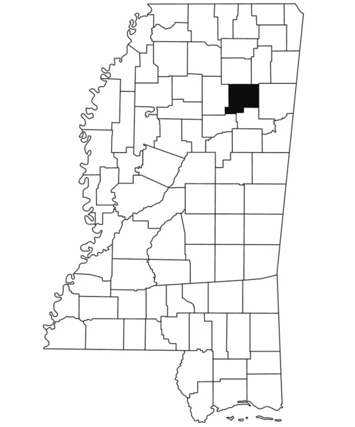
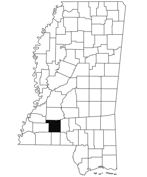
Stock image Map of Lincoln County in Mississippi state on white background. single County map highlighted by black colour on Mississippi map. United States of America, US
Published: Sep.14, 2023 12:52:54
Author: akhtaransari
Views: 0
Downloads: 0
File type: image / jpg
File size: 4.78 MB
Orginal size: 6734 x 8080 px
Available sizes:
Level: beginner