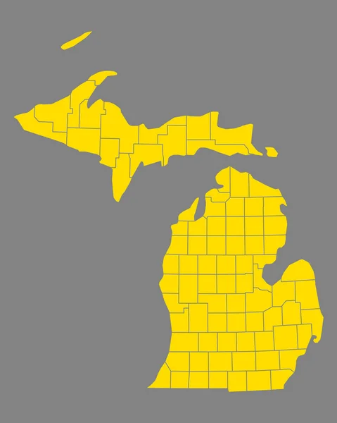
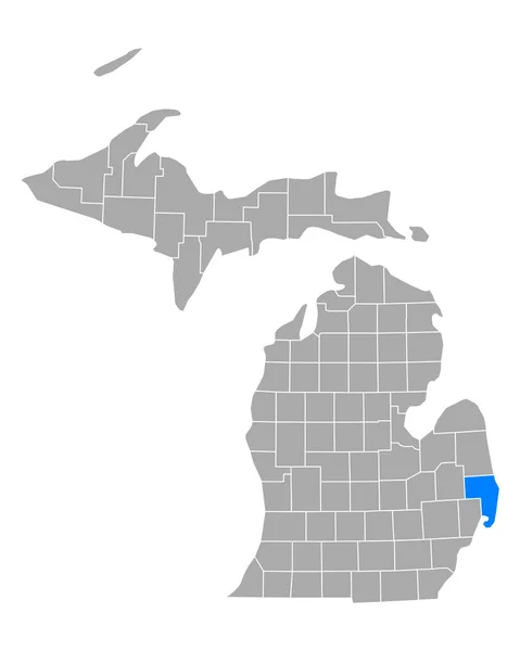
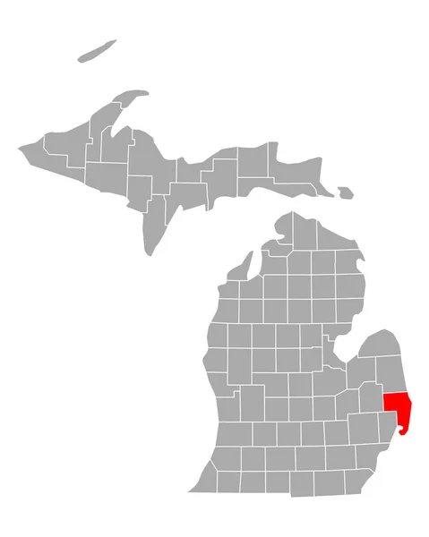
Stock image map of michigan, geographical map illustration

Published: Apr.15, 2020 10:02:32
Author: PantherMediaSeller
Views: 0
Downloads: 0
File type: image / jpg
File size: 0 MB
Orginal size: 4000 x 5000 px
Available sizes:
Level: platinum