photo free
Home Images Vectors Videos

Stock image Map of Normandy region, France
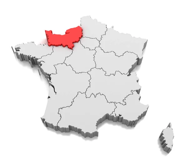
Stock image Map of Normandy region, France
Published: Oct.02, 2018 12:02:29
Author: md3d
Views: 15
Downloads: 2
File type: image / jpg
File size: 2.63 MB
Orginal size: 4200 x 3675 px
Available sizes:
S
(500 x 438)
M
(1000 x 875)
L
(2000 x 1750)
XL
(4200 x 3675)
EL0
(4200 x 3675)
Level: bronze
Download Image
Image topics:

Similar stock images

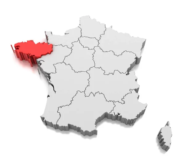
stock image Map of Brittany region, France

Map Of Brittany Region, France

4200 × 3675
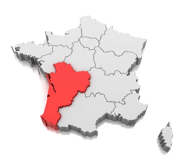
stock image Map of Nouvelle Aquitaine region, France

Map Of Nouvelle Aquitaine Region, France

4200 × 3675
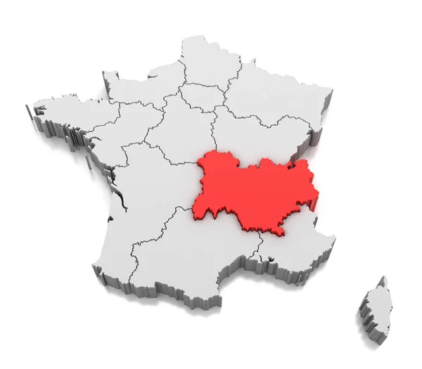
stock image Map of Auvergne Rhone Alpes region, France

Map Of Auvergne Rhone Alpes Region, France

4200 × 3675
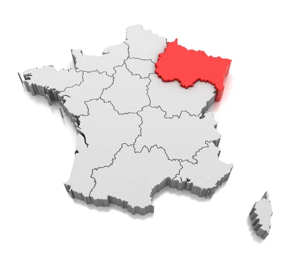
stock image Map of Grand Est region, France

Map Of Grand Est Region, France

4200 × 3675
stock image Map of Hauts-de-France region, France

Map Of Hauts-de-France Region, France

4200 × 3675
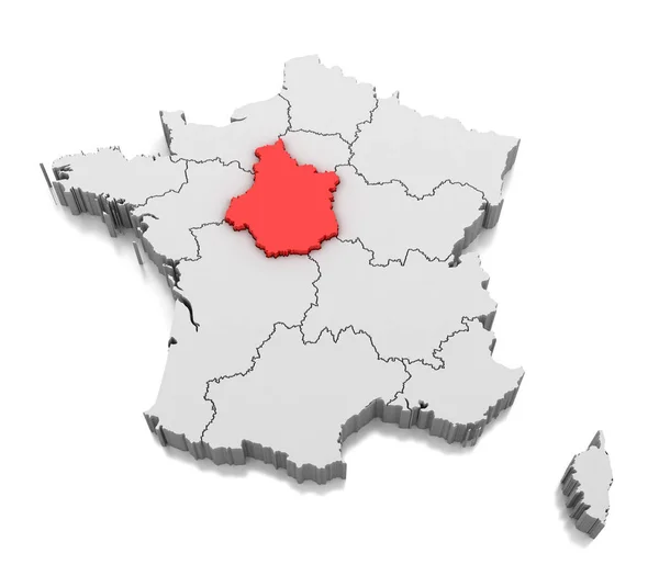
stock image Map of Centre-Val de Loire region, France

Map Of Centre-Val De Loire Region, France

4200 × 3675
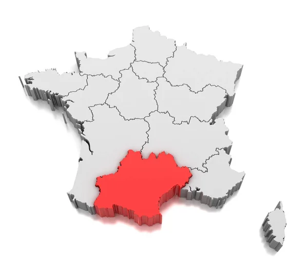
stock image Map of Occitanie region, France

Map Of Occitanie Region, France

4200 × 3675
stock image Map of Bourgogne Franche Comte region, France

Map Of Bourgogne Franche Comte Region, France

4200 × 3675