Home
Images
Vectors
Videos
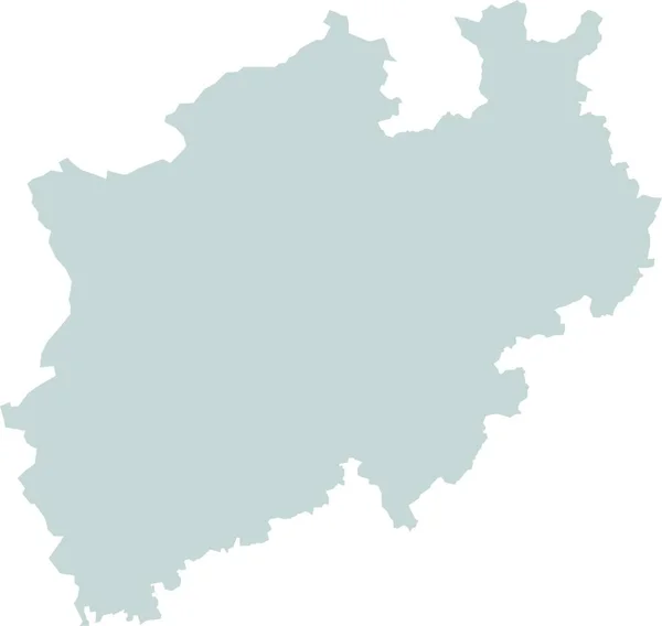
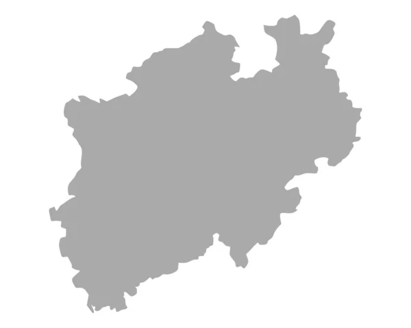
Stock image map of north rhine westphalia with borders in gray
Published:
Apr.15, 2020 10:40:10
Author:
PantherMediaSeller
Views:
0
Downloads:
0
File type:
image
/
jpg
File size:
0 MB
Orginal size:
4296
x
4228
px
Available sizes:
S
(500 x 492)
M
(1000 x 984)
L
(2000 x 1968)
XL
(4296 x 4228)
EL0
(4296 x 4228)
Level:
platinum
Download Image
Image topics:
Victory
Graphic
Illustration
Travel
Border
Card
Modern
Gray
Grey
Information
Education
Earth
Planet
World
Project
Detailed
North
Globe
Draft
Country
Map
Cartography
Geography
Plan
Cathedral
Land
Cologne
State
Win
Topography
Borders
Political
Geographic
Department
Region
Atlas
Westphalia
Geographical
Rhine
Canton
Regions
Duisburg
Bochum
Map Of The World
North Rhine Westphalia
Web Design
Substratums
Similar stock images
The Card Can Be Used Immediately And Is Optimized For Printing And Use In Digital Medien..der Color Mode Is Rgb.
6752 × 6400
Map Of Hesse
3537 × 4943
Map Of Rhineland-palatinate With Borders In Grey
3968 × 4731
Map Of North Rhine-Westphalia
5000 × 4000
Map Of Thuringia
4662 × 3821
Grey Map Of Belgium
4100 × 4100
Grey Map Of Slovenia
4600 × 3450
Accurate Map Of Moquegua
4000 × 5000