Home
Images
Vectors
Videos
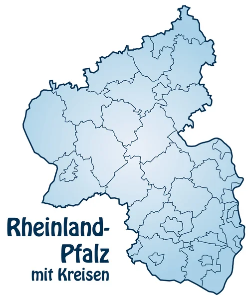
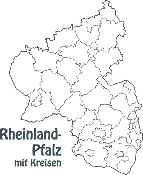
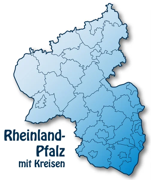
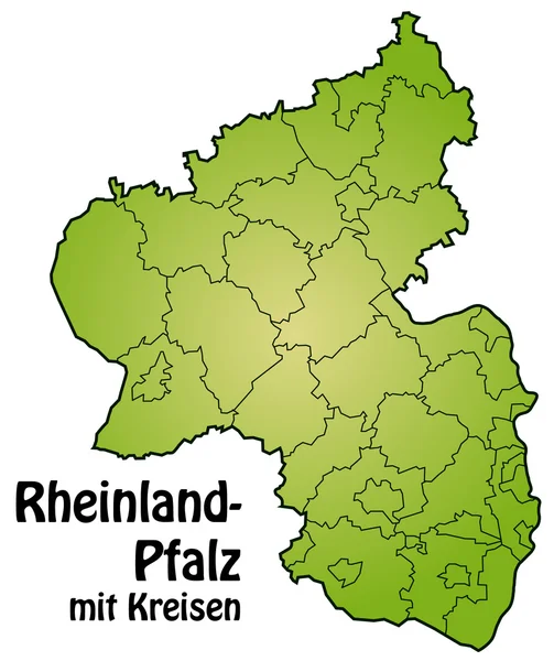
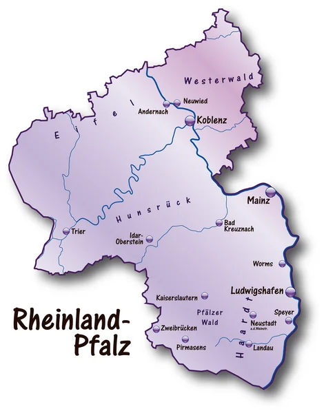
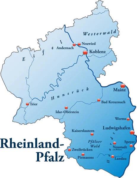
Stock image map of rhineland-palatinate with borders in gray
Published:
Apr.10, 2020 11:24:13
Author:
PantherMediaSeller
Views:
7
Downloads:
0
File type:
image
/
jpg
File size:
0 MB
Orginal size:
3769
x
4494
px
Available sizes:
S
(419 x 500)
M
(839 x 1000)
L
(1677 x 2000)
XL
(3769 x 4494)
EL0
(3769 x 4494)
Level:
platinum
Download Image
Image topics:
Illustration
Design
Model
Border
Card
Gray
Concept
With
Data
Grey
Information
Project
In
Draft
Map
Cartography
Geography
Plan
Knowledge
State
Borders
Of
Department
Region
Atlas
Facts
Informations
Ludwigshafen
Canton
Regions
Palatinate
Pfalz
Rhineland
Rhineland Palatinate
Kaiserslautern
Map Of The World
Coblenz
Web Design
Substratums
Plan Of Site
Similar stock images
Rheinland-Pfalz Mit Kreisen
4000 × 4767
In The Representation Of The Area Particular Emphasis Was Placed On The Clarity. The Card Can Be Used Immediately And Is Optimized For Printing And Use In Digital Media. The Color Mode Is Rgb.
4832 × 5888
Rheinland-Pfalz Mit Kreisen
4000 × 4758
Rheinland-Pfalz Mit Kreisen
4000 × 4767
Visualisation The Urban District And Administrative District Of Rhineland-Palatinate. White Background
2357 × 3014
Rheinland-Pfalz In Flieder
5204 × 6628
Rheinland-Pfalz Germany Map Grey
5000 × 6281
Rheinland-Pfalz In Blau
4718 × 6124