Home
Images
Vectors
Videos
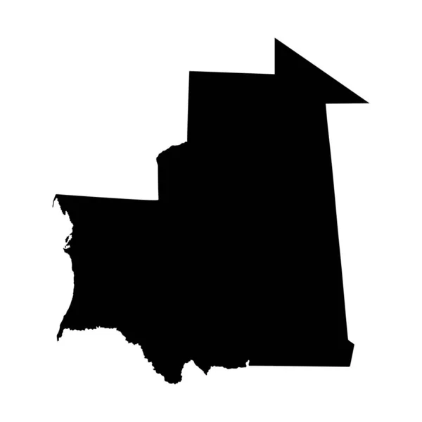
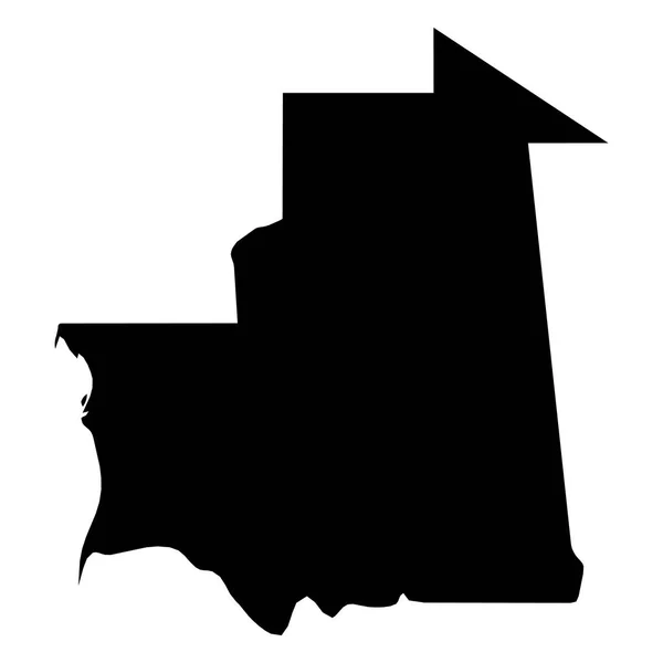
Stock image Map of the country of Mauritania
Published:
Sep.29, 2016 13:43:42
Author:
PaulStringer
Views:
5
Downloads:
0
File type:
image
/
jpg
File size:
0.11 MB
Orginal size:
2431
x
2431
px
Available sizes:
S
(500 x 500)
M
(1000 x 1000)
L
(2000 x 2000)
XL
(2431 x 2431)
EL0
(2431 x 2431)
Level:
bronze
Download Image
Image topics:
White
Graphic
Illustration
Isolated
Travel
Texture
Cut
Line
Border
Symbol
Concept
Icon
Physical
Contour
Shadow
World
Outline
Country
Map
Cartography
Geography
National
Land
Chart
Topography
Island
English
Atlas
Nation
Mauritania
Similar stock images
Mauritania Map. Mauritanian Country Map. Black And White National Nation Outline Geography Border Boundary Shape Territory Vector Illustration EPS Clipart
5000 × 4000
Vector Map Of Map Of Moritania
5417 × 5417
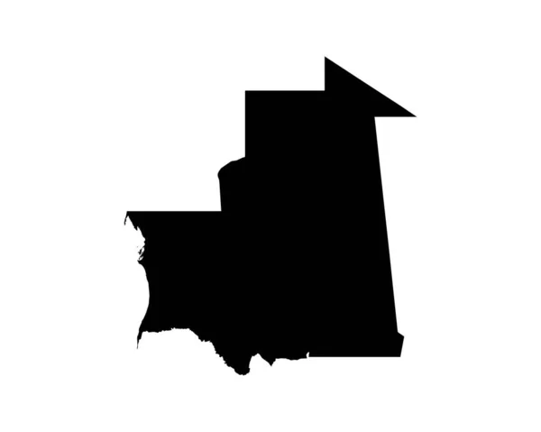
Vector Map Mauritania. Isolated Vector Illustration. Black On White Background. EPS 10 Illustration.
5000 × 5000
Mauritania Vector Map Silhouette Isolated On White Background. High Detailed Silhouette Illustration. East Africa State.
4000 × 4000
Highly Detailed Mauritania Map With Borders Isolated On Background
4000 × 4000
Mauritania - Solid Black Silhouette Map Of Country Area. Simple Flat Vector Illustration
6000 × 6000
Illustration On An Orange Background Of Mauritania
3472 × 3472
Mauritania Silhouette Map Isolated On White Background
4530 × 5000