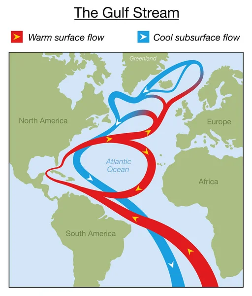
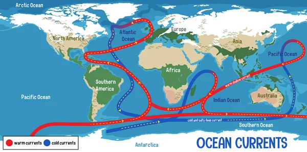
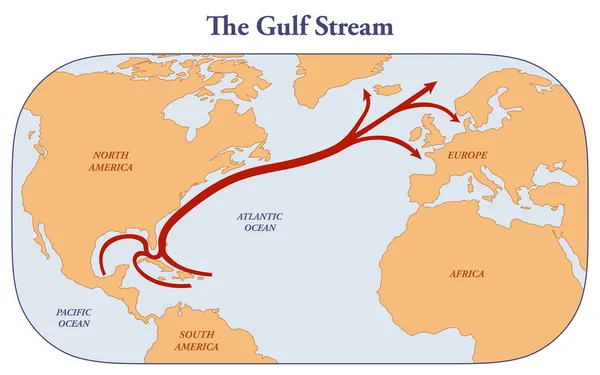
Stock image Map of the Gulf stream from the Caribbean to Northern America and Europe
Published: Apr.10, 2023 14:19:19
Author: dkaramit
Views: 7
Downloads: 2
File type: image / jpg
File size: 1.3 MB
Orginal size: 3200 x 2000 px
Available sizes:
Level: beginner