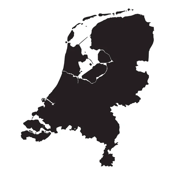
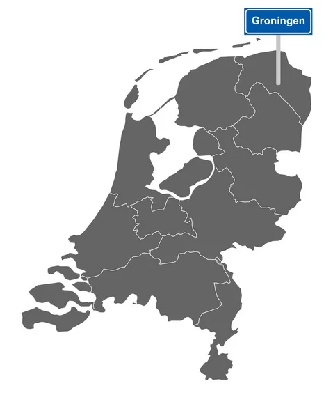
Stock image map of the netherlands with regions and cities

Published: Dec.06, 2021 14:44:02
Author: PantherMediaSeller
Views: 0
Downloads: 0
File type: image / jpg
File size: 0 MB
Orginal size: 4000 x 5000 px
Available sizes:
Level: platinum