Home
Images
Vectors
Videos
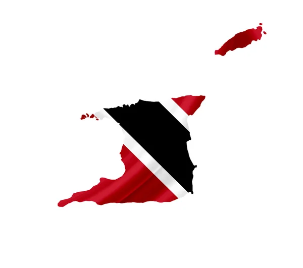
Stock image Map of Trinidad and Tobago with waving flag isolated on white
Published:
Jun.12, 2012 10:58:32
Author:
Alexis84
Views:
687
Downloads:
2
File type:
image
/
jpg
File size:
0.83 MB
Orginal size:
3216
x
2848
px
Available sizes:
S
(500 x 443)
M
(1000 x 886)
L
(2000 x 1771)
XL
(3216 x 2848)
EL0
(3216 x 2848)
Level:
silver
Download Image
Image topics:
Color
Image
White
Background
On
Graphic
Illustration
Design
Isolated
Shape
Travel
Cut
Line
Silhouette
Border
Grunge
Vintage
Flag
Backdrop
Icon
Digital
With
Contour
Waving
Template
Tourism
Europe
Outline
Country
Glossy
Map
Cartography
Geography
National
Land
State
Language
Middle
Chart
Administrative
Of
Destination
Republic
Official
Editable
Graphical
And
Atlas
Trinidad
Tobago
Similar stock images
Vintage Paper Map Of Trinidad And Tobago
3216 × 2848
Curacao A Dutch Caribbean Island Is Known With Marine Life
5000 × 5000
Trinidad And Tobago Flag And Map, Transparent Background, Clipping Path
7000 × 7000
Flag Of The Country Of The United States Of America
3501 × 3500
Map Of Trinidad And Tobago Isolated
3216 × 2848
Map Of Trinidad.
4800 × 3600
Trinidad And Tobago Flag Map. Map Of The Republic Of Trinidad And Tobago With Country Banner. Vector Illustration.
5000 × 4000
Trinidad Tobago Flag Map
6361 × 4512