Home
Images
Vectors
Videos
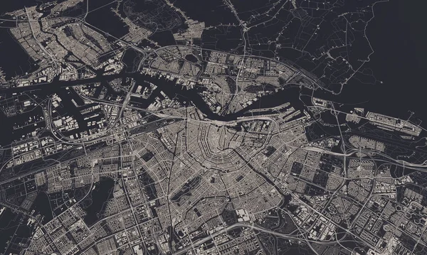
Stock image Map of Ukraine, Dnipro , city outline, borders, important cities, rivers and lakes. layout and scaling. Latitude and longitude. Urban plan. High quality photo
Published:
Jan.03, 2023 16:05:15
Author:
ruslan_batiuk
Views:
8
Downloads:
1
File type:
image
/
jpg
File size:
9.49 MB
Orginal size:
7087
x
9449
px
Available sizes:
S
(375 x 500)
M
(750 x 1000)
L
(1500 x 2000)
XL
(7087 x 9449)
EL0
(7087 x 9449)
Level:
beginner
Download Image
Image topics:
Background
Graphic
Design
Isolated
Shape
Anniversary
Travel
Abstract
Transportation
European
Line
Border
Symbol
Concept
Icon
City
Downtown
Contour
Artistic
Ukraine
Highway
Detailed
Town
Capital
Europe
Outline
Country
District
Map
Cartography
Geography
Plan
Area
National
Trip
State
Poster
Political
Administrative
Blueprint
Region
Diagram
Dnipro
Territory
Atlas
Ukrainian
Province
Nation
Black And White
Aerial View
Similar stock images
Retro Dutch City Map Of Veenendaal Located In Utrecht. Vintage Street Map.
4724 × 7086
Map Of The City Of Washington, D.C., USA
4397 × 4397
Retro Dutch City Map Of Rosmalen Located In Noord-Brabant. Vintage Street Map.
4724 × 7086
Lent, Gelderland, Rivierenland Region Vintage Street Map. Retro Dutch City Plan.
4724 × 7086
Amsterdam, Netherlands City Map 3D Rendering. Aerial Satellite View.
5000 × 3000
Retro Dutch City Map Of Kerkrade Located In Limburg. Vintage Street Map.
4724 × 7086
Leiden, Zuid-Holland Vintage Street Map. Retro Dutch City Plan.
4724 × 7086