Home
Images
Vectors
Videos
Stock image map Saint Vincent and the Grenadines. Isolated Illustration. Black on White background.
Published:
May.03, 2019 09:32:41
Author:
VectorMap
Views:
3
Downloads:
0
File type:
image
/
jpg
File size:
0.43 MB
Orginal size:
5000
x
5000
px
Available sizes:
S
(500 x 500)
M
(1000 x 1000)
L
(2000 x 2000)
XL
(5000 x 5000)
EL0
(5000 x 5000)
Level:
beginner
Download Image
Image topics:
White
Background
Graphic
Illustration
Isolated
Shape
Labeling
Art
Travel
Abstract
Texture
Sea
Cut
Border
Gray
Symbol
Concept
Icon
Saint
St
World
Ocean
Detailed
Capital
Outline
Country
West
Map
Cartography
National
America
Island
Political
Administrative
Destination
Lucia
Islands
Caribbean
English
Maps
Windward
Indies
Lesser
Barbados
Grenada
Vincent
Grenadines
Antilles
Kingstown
Similar stock images
Vector Map Saint Vincent And The Grenadines. Isolated Vector Illustration. Black On White Background. EPS 10 Illustration.
5000 × 5000
Saint Vincent And The Grenadines Country Thin Black Outline. High Detailed Map. Vector Illustration Isolated On White Background.
8000 × 8000
South Korea Country Thin Black Outline. High Detailed Map. Vector Illustration Isolated On White Background.
8000 × 8000
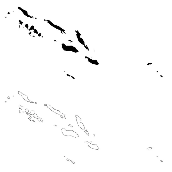
Vector Map Solomon Islands. Isolated Vector Illustration. Black On White Background. EPS 10 Illustration.
5000 × 5000
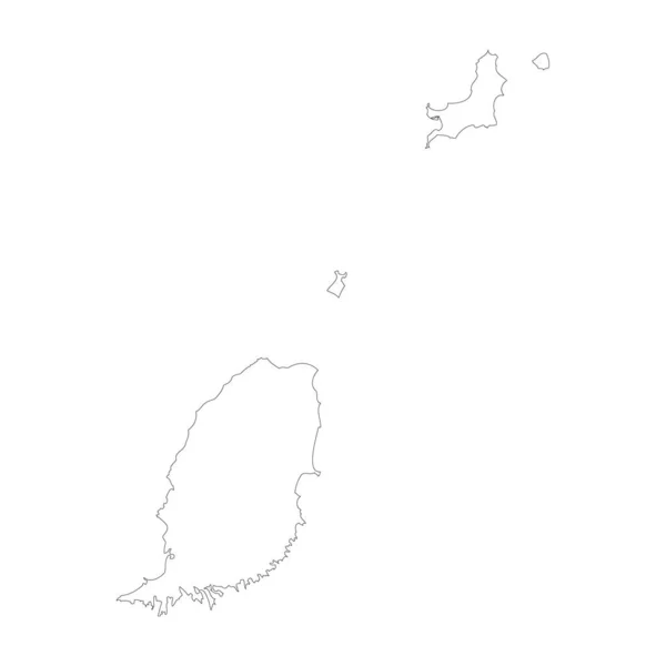
Grenada Country Thin Black Outline. High Detailed Map. Vector Illustration Isolated On White Background.
8000 × 8000
Vector Map Mauritius. Isolated Vector Illustration. Black On White Background. EPS 10 Illustration.
5000 × 5000
Map Vanuatu. Isolated Illustration. Black On White Background.
5000 × 5000
Highly Detailed South Korea Map With Borders Isolated On Background
4000 × 6000