Home
Images
Vectors
Videos
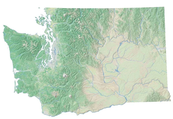
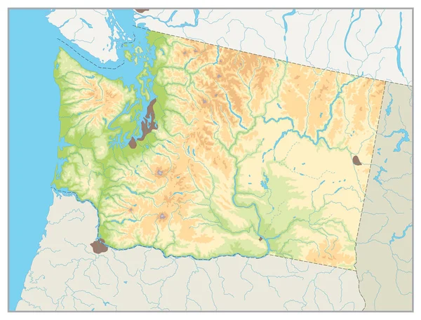
Stock image Map showing the hydrological features of Yellowstone National Park in the United States. (Data sources: USGS, USNPS)
Published:
Jul.10, 2019 08:22:27
Author:
YAYImages
Views:
11
Downloads:
2
File type:
image
/
jpg
File size:
0 MB
Orginal size:
3100
x
3100
px
Available sizes:
S
(500 x 500)
M
(1000 x 1000)
L
(2000 x 2000)
XL
(3100 x 3100)
EL0
(3100 x 3100)
Level:
platinum
Download Image
Image topics:
Background
Illustration
Park
Nature
Water
Pattern
Stream
Usa
Map
Cartography
Geography
Area
National
Lake
America
Boundary
Geographic
Waters
Maps
Creek
Mapping
Montana
Wyoming
Yellowstone
Idaho
Hydrology
Hydrological
United States
Yellowstone National Park
Hydrography
Similar stock images
High Resolution Topographic Map Of Washington
7204 × 4960
Shape Of Arkansas, State Of Mainland United States, With Its Capital Isolated On White Background. Topographic Relief Map. 3D Rendering
3836 × 3460
Physical Map Of Washington State.No Text
8192 × 6235
Washington Physical State Map. White And Grey.No Text.
8192 × 6235
Shape Of Missouri, State Of Mainland United States, With Its Capital Isolated On White Background. Topographic Relief Map. 3D Rendering
3836 × 3261
Shape Of Nebraska, State Of Mainland United States, With Its Capital Isolated On White Background. Satellite Imagery. 3D Rendering
3836 × 1957
Shape Of Iowa, State Of Mainland United States, With Its Capital Isolated On White Background. Topographic Relief Map. 3D Rendering
3836 × 2554
Shape Of Hardap, Region Of Namibia, With Its Capital Isolated On White Background. Colored Elevation Map. 3D Rendering
3836 × 2135