Home
Images
Vectors
Videos
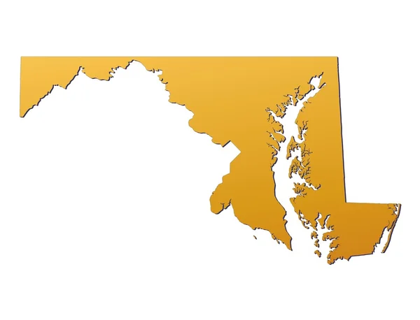
Stock image Maryland(USA) map
Published:
Jan.15, 2013 21:54:30
Author:
skvoor
Views:
400
Downloads:
2
File type:
image
/
jpg
File size:
1.29 MB
Orginal size:
4220
x
3221
px
Available sizes:
S
(500 x 382)
M
(1000 x 763)
L
(2000 x 1527)
XL
(4220 x 3221)
EL0
(4220 x 3221)
Level:
bronze
Download Image
Image topics:
Color
White
Blue
Background
Graphic
Illustration
Design
High
Isolated
Shape
Clipping
Metal
Detail
Abstract
Texture
Light
Black
Cut
Silhouette
3d
Graphics
Digital
With
Contour
Metallic
Us
Usa
Surface
Detailed
Raster
Outline
Country
Map
Geography
National
State
Chart
Resolution
America
Borders
Boundary
United
States
Diagram
Filled
Boundaries
Atlas
Maryland
Nation
Shading
Similar stock images
Maryland (USA) Map
4220 × 3221
The Gambia Map
5815 × 3343
Stylized Green Sketch Map Of Maryland
7177 × 4496
Maryland Country Map Silhouette In The United States
5000 × 3000
Mali Map Country Icon In Solid Style
2401 × 2245
BLUE CMYK Color Detailed Flat Map Of The Federal State Of MARYLAND, UNITED STATES OF AMERICA On Transparent Background
6900 × 3556
Simple Outline Map Of Maryland Is A State Of United States. Stylized Minimal Line Design
4000 × 4000
Stylized Blue Sketch Map Of Maryland
7177 × 4496