photo free
Home Images Vectors Videos

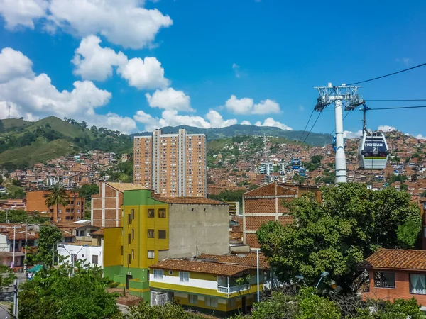
Stock image Medellin Aerial View
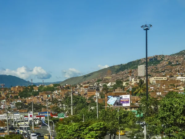
Stock image Medellin Aerial View
Published: Mar.11, 2019 13:25:59
Author: DanFLCreativo
Views: 2
Downloads: 0
File type: image / jpg
File size: 7.83 MB
Orginal size: 3648 x 2736 px
Available sizes:
S
(500 x 375)
M
(1000 x 750)
L
(2000 x 1500)
XL
(3648 x 2736)
EL0
(3648 x 2736)
Level: bronze
Download Image
Image topics:

Similar stock images

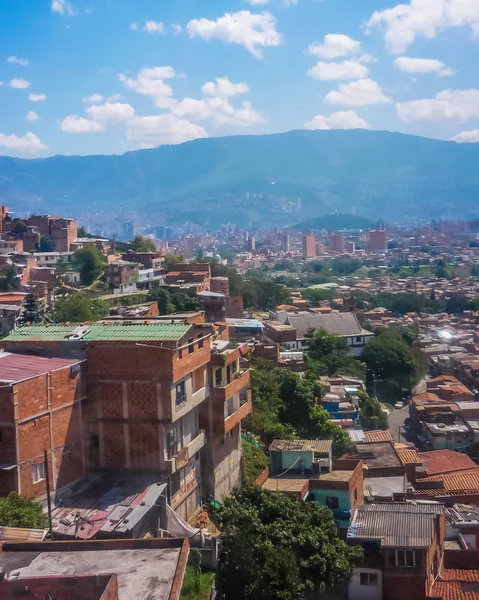
stock image Aerial View of Poor Town in Medellin

Aerial View Of Poor Town In Medellin

3648 × 2736
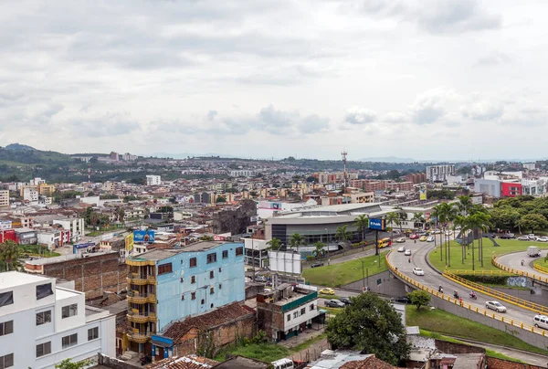
stock image PEREIRA, COLOMBIA - OCTOBER 25, 2015: Areal view of Pereira at rainy day. The city is located in the foothills of the Andes in a coffee-producing area of Colombia officially known as the Coffee Axis.

PEREIRA, COLOMBIA - OCTOBER 25, 2015: Areal View Of Pereira At Rainy Day. The City Is Located In The Foothills Of The Andes In A Coffee-producing Area Of Colombia Officially Known As The Coffee Axis.

4200 × 2833
stock image PEREIRA, COLOMBIA - OCTOBER 25, 2015: Areal view of Pereira at rainy day. The city is located in the foothills of the Andes in a coffee-producing area of Colombia officially known as the Coffee Axis.

PEREIRA, COLOMBIA - OCTOBER 25, 2015: Areal View Of Pereira At Rainy Day. The City Is Located In The Foothills Of The Andes In A Coffee-producing Area Of Colombia Officially Known As The Coffee Axis.

5250 × 3084
stock image Aerial View of Poor Town in Medellin

Aerial View Of Poor Town In Medellin

2230 × 2787
stock image Medellin, Colombia - february 2018: City skyline of Medellin and Comuna 13, Medellin, Colombia.

Medellin, Colombia - February 2018: City Skyline Of Medellin And Comuna 13, Medellin, Colombia.

3264 × 2448
stock image aerial view of kathmandu city,City of temples kathmanddu view from Bagh Bbhairab temple,Kritipur.

Aerial View Of Kathmandu City,City Of Temples Kathmanddu View From Bagh Bbhairab Temple,Kritipur.

3840 × 5760
stock image Aerial View of Poor Town in Medellin

Aerial View Of Poor Town In Medellin

3560 × 2543
stock image PEREIRA, COLOMBIA - OCTOBER 25, 2015: Areal view of Pereira at rainy day. The city is located in the foothills of the Andes in a coffee-producing area of Colombia officially known as the Coffee Axis.

PEREIRA, COLOMBIA - OCTOBER 25, 2015: Areal View Of Pereira At Rainy Day. The City Is Located In The Foothills Of The Andes In A Coffee-producing Area Of Colombia Officially Known As The Coffee Axis.

4787 × 3149