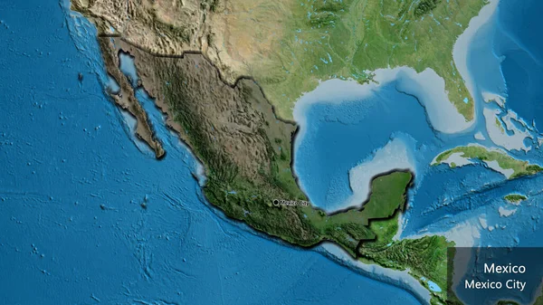
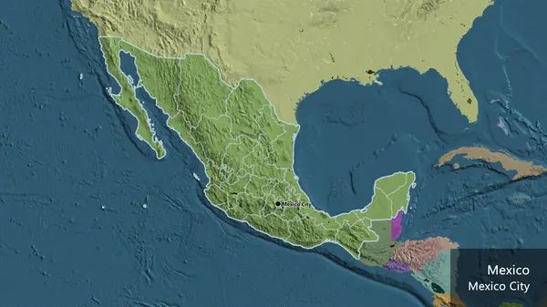
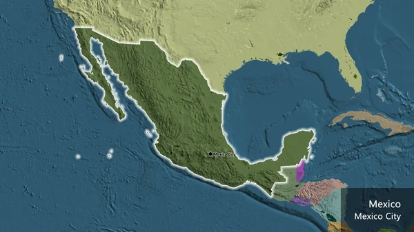
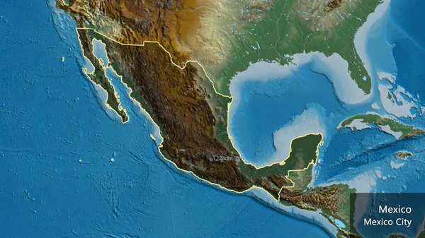
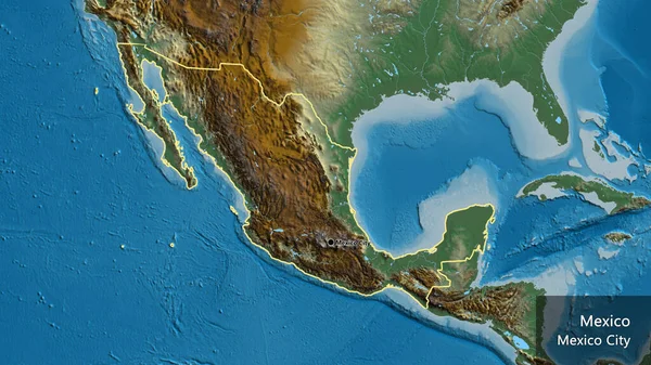
Stock image Mexico map
Published: Feb.25, 2013 10:17:31
Author: vladislavgajic
Views: 345
Downloads: 5
File type: image / jpg
File size: 8.13 MB
Orginal size: 4000 x 3000 px
Available sizes:
Level: bronze