Home
Images
Vectors
Videos
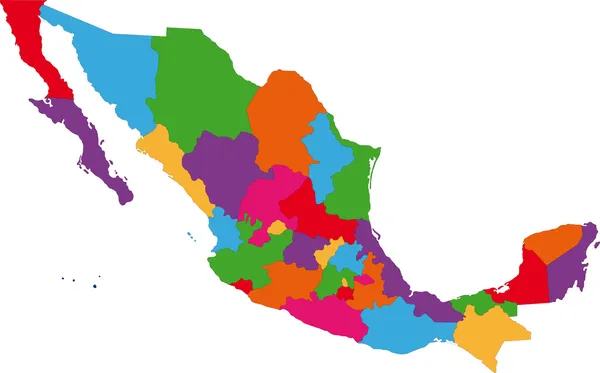
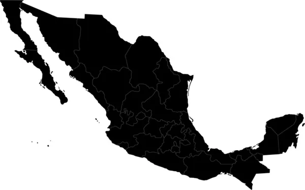
Stock image Mexico map, new political detailed map, separate individual states, isolated on white background 3D raster blank
Published:
Jan.11, 2020 09:14:42
Author:
Mondi.h
Views:
92
Downloads:
2
File type:
image
/
jpg
File size:
1 MB
Orginal size:
5078
x
3300
px
Available sizes:
S
(500 x 325)
M
(1000 x 650)
L
(2000 x 1300)
XL
(5078 x 3300)
EL0
(5078 x 3300)
Level:
bronze
Download Image
Image topics:
Green
Color
Colors
Yellow
Blue
Background
Colorful
Illustration
Isolated
New
Travel
Orange
Violet
Purple
Blank
Earth
World
American
Raster
Individual
Country
Map
Continent
Mexican
State
Separate
America
Island
Central
Mexico
Atlas
Chihuahua
Tabasco
Durango
Oaxaca
Campeche
Chiapas
Coahuila
Jalisco
Sonora
Isolated On White
Baja California
Aguascalientes
Zacatecas
United Mexican States
Detailed Map
Wall Map
Region Map
Similar stock images
Colorful Mexico Map
7502 × 4663
Mexico Map Colorful Country Icon
4521 × 4521
Mexico Border Map Over White
7973 × 6149
States Of Mexico Map
6000 × 4500
Vector Blank Map Of Mexico With Regions Or Or States And Administrative Divisions. Editable And Clearly Labeled Layers.
6000 × 4000
Colorful Mexico Political Map With Clearly Labeled, Separated Layers. Vector Illustration.
5592 × 3907
Mexico Map In Watercolors
5000 × 4043
Black Mexico Map
7503 × 4664