Home
Images
Vectors
Videos
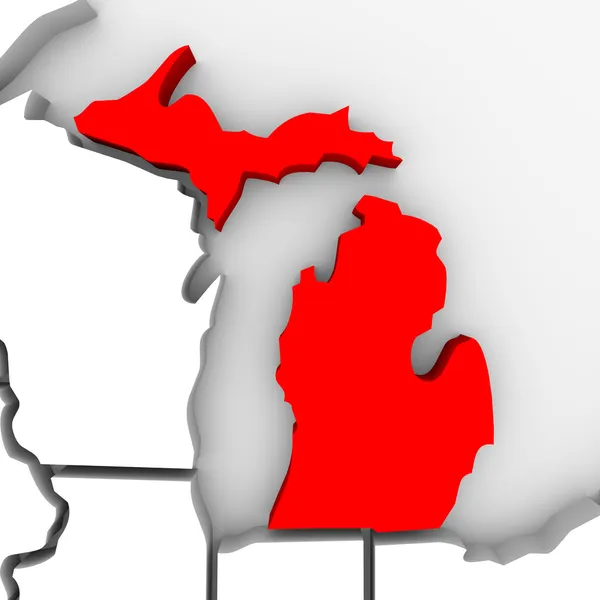
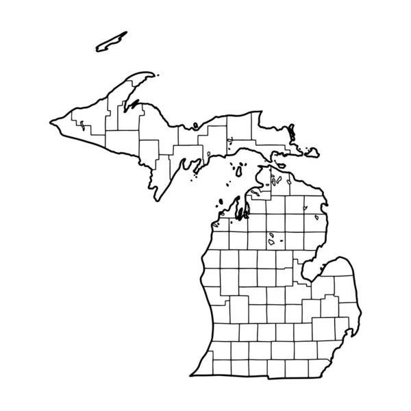
Stock image Michigan Sate Map
Published:
Dec.10, 2010 15:37:38
Author:
iqoncept
Views:
874
Downloads:
10
File type:
image
/
jpg
File size:
2.26 MB
Orginal size:
4096
x
4096
px
Available sizes:
S
(500 x 500)
M
(1000 x 1000)
L
(2000 x 2000)
XL
(4096 x 4096)
EL0
(4096 x 4096)
Level:
gold
Download Image
Image topics:
Color
Red
White
Background
Render
Close Up
Illustration
Design
Isolated
Closeup
Abstract
3d
Contour
Us
Usa
Relief
Illustrated
Outline
Map
Geography
State
Great
Borders
Boundary
Of
The
A
Atlas
Lakes
Midwest
Mapping
Michigan
Sate
Detroit
U S A
United States
Great Lakes
Upper Peninsula
Lower Peninsula
Great Lakes State
Motown
Similar stock images
Map Of Marquette In Michigan
4000 × 5000
Map Of Huron In Michigan
4000 × 5000
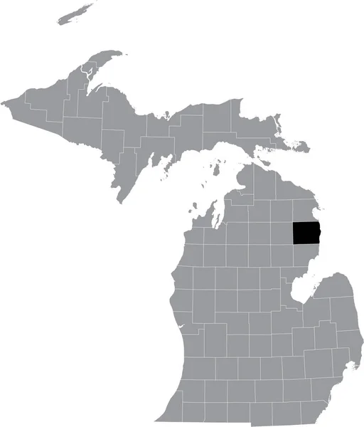
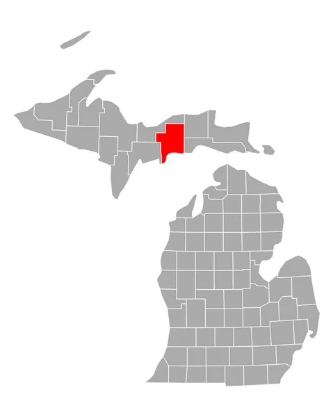
Black Highlighted Location Map Of The Antrim County Inside Gray Map Of The Federal State Of Michigan, USA
4529 × 5302
Outline Map Of Michigan White Background. USA State, Vector Map With Contour.
4000 × 4000
Map Of Schoolcraft In Michigan
4000 × 5000
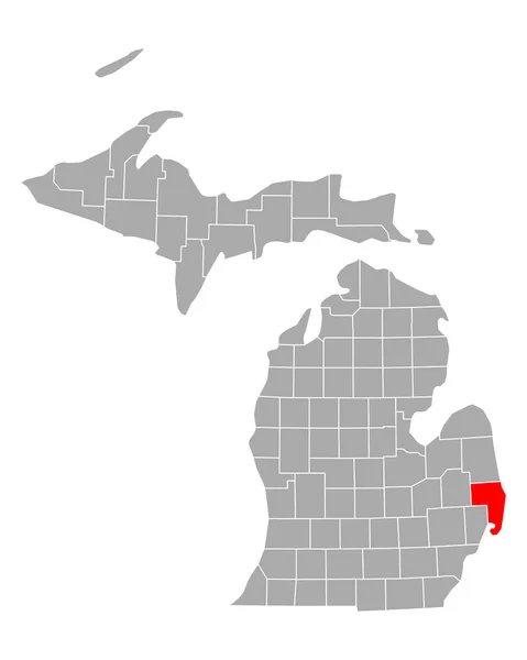
Black Highlighted Location Map Of The Monroe County Inside Gray Map Of The Federal State Of Michigan, USA
4529 × 5302
Black Highlighted Location Map Of The Alcona County Inside Gray Map Of The Federal State Of Michigan, USA
4529 × 5302
Map Of St Clair In Michigan
4000 × 5000