Home
Images
Vectors
Videos
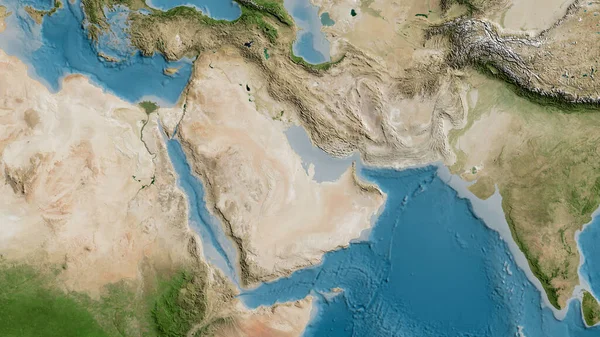
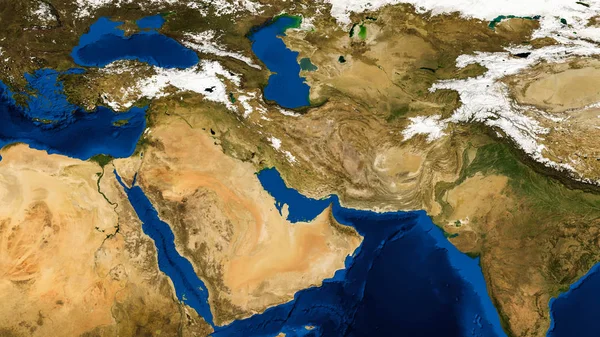
Stock image Middle east, west asia, Israel and Iran as it looks like from space. Elements of this image are furnished by NASA.
Published:
Jun.11, 2018 09:24:38
Author:
wael_alreweie
Views:
110
Downloads:
6
File type:
image
/
jpg
File size:
15.81 MB
Orginal size:
15783
x
8878
px
Available sizes:
S
(500 x 281)
M
(1000 x 563)
L
(2000 x 1125)
XL
(15783 x 8878)
EL0
(15783 x 8878)
Level:
beginner
Download Image
Image topics:
Blue
Background
Render
Generated
View
Graphic
Space
Day
Illuminated
Business
Travel
Sunlight
Nature
Light
Black
Sunrise
Concept
City
Night
Global
Internet
Glow
Earth
Planet
World
Luminosity
Surface
Science
Europe
Globe
Map
Geography
Africa
Astronomy
Egypt
Universe
Topography
Cosmos
Nasa
Middle East
Saudi Arabia
Persian Gulf
Arabian Gulf
Iran Map
Israel Map
Uae Map
River Nile
Turkey Night
Iran Israel
Iran Conflict
Similar stock images
Satellite Map Of The Area Around The Arabian Tectonic Plate. 3D Rendering
2880 × 1620
Satellite Globe Map Centered On Saudi Arabia
3840 × 2160
Satellite Globe Map Centered On Saudi Arabia
3840 × 2160
Eritrea On Earth From Space
5000 × 3722
Egypt. Neighborhood - Distant Perspective Without Outline. Satellite Imagery
2880 × 1620
Egypt. Neighborhood - Distant Perspective With Outline Of The Country. Satellite Imagery
2880 × 1620
Orbit View Of Kuwait In Red
5000 × 3722
Kuwait From Space
5000 × 3722