Home
Images
Vectors
Videos
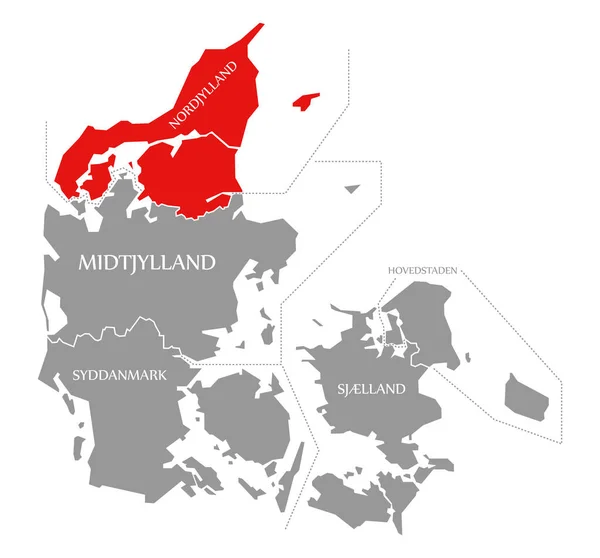
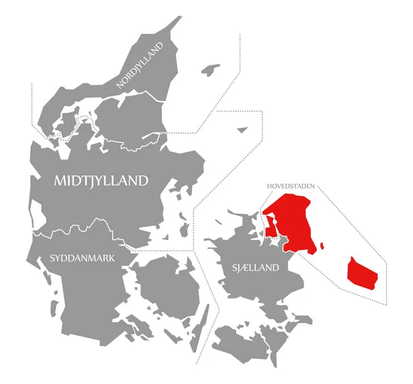
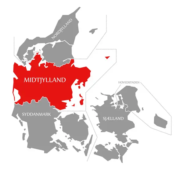
Stock image Midtjylland red highlighted in map of Denmark
Published:
Dec.10, 2019 09:50:19
Author:
ingomenhard
Views:
1
Downloads:
0
File type:
image
/
jpg
File size:
3.12 MB
Orginal size:
6020
x
5600
px
Available sizes:
S
(500 x 465)
M
(1000 x 930)
L
(2000 x 1860)
XL
(6020 x 5600)
EL0
(6020 x 5600)
Level:
bronze
Download Image
Image topics:
Red
Graphic
Illustration
Design
Isolated
Shape
New
Travel
Silhouette
Border
Modern
Symbol
Concept
Flat
Contour
Grey
Highlight
Simple
Country
District
Map
Cartography
Geography
Area
National
Trip
Overview
State
Countries
Borders
Administrative
Department
Denmark
States
Region
Division
Territory
Flats
Highlighted
Province
Nation
County
Regional
Counties
Departments
Midtjylland
Mid Jutland
Similar stock images
Nordjylland Red Highlighted In Map Of Denmark
6020 × 5600
Syddanmark Red Highlighted In Map Of Denmark
6020 × 5600
Hovedstaden Red Highlighted In Map Of Denmark
6020 × 5600
Sjælland Red Highlighted In Map Of Denmark
6020 × 5600
Denmark Map Labelled Black Illustration
5374 × 5000
Vector Administrative Map Of The Region North Jutland, Denmark
4276 × 3100
Trondelag State Map Of Norway Grey Illustration
6500 × 6527
Vector Administrative Map Of The Region North Jutland, Denmark
4000 × 3838