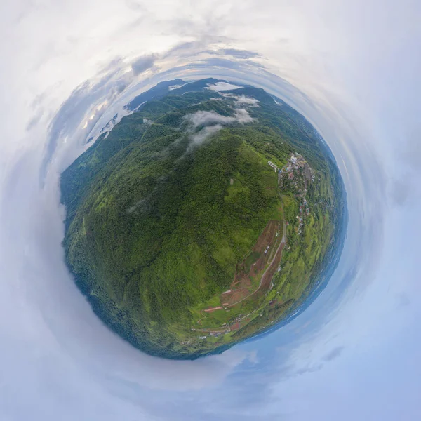
Stock image Mountains, river and city of Nha Trang, view from a drone

Published: Sep.23, 2020 13:17:41
Author: galitskaya
Views: 2
Downloads: 0
File type: image / jpg
File size: 34.64 MB
Orginal size: 7712 x 7712 px
Available sizes:
Level: silver
Similar stock images


Aerial View Over Landscape Mountains, Mae Moh, Lampang, Thailand, 360 Degrees Panorama - Drone.
4500 × 4500