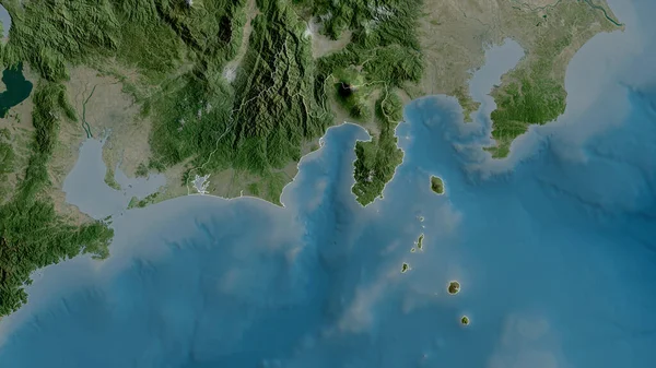
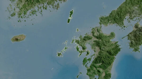
Stock image Nagasaki - prefecture of Japan zoomed and highlighted with capital. Satellite imagery. 3D rendering
Published: Sep.16, 2020 07:48:34
Author: Yarr65
Views: 1
Downloads: 0
File type: image / jpg
File size: 2.6 MB
Orginal size: 2880 x 1620 px
Available sizes:
Level: bronze
Similar stock images

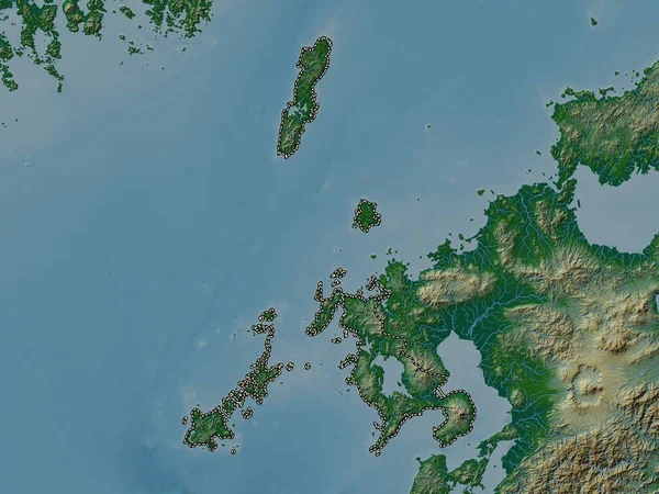
Nagasaki, Prefecture Of Japan. Satellite Imagery. Shape Outlined Against Its Country Area. 3D Rendering
2880 × 1620
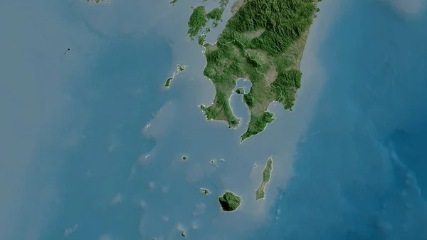
Kagoshima, Prefecture Of Japan. Satellite Imagery. Shape Outlined Against Its Country Area. 3D Rendering
2880 × 1620

Yamaguchi, Prefecture Of Japan. Satellite Imagery. Shape Outlined Against Its Country Area. 3D Rendering
2880 × 1620